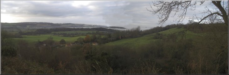
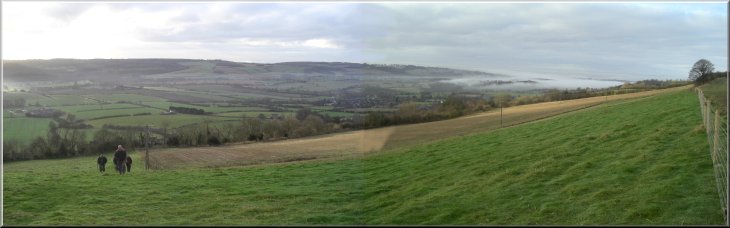
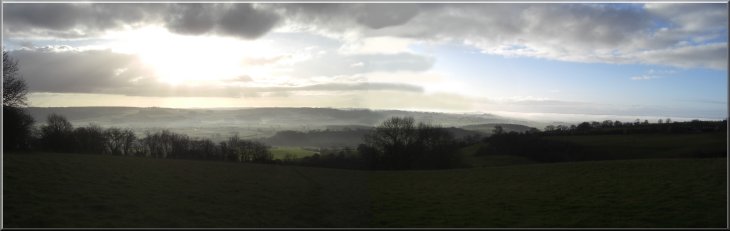
Looking south west from the hillside above Ampleforth
|
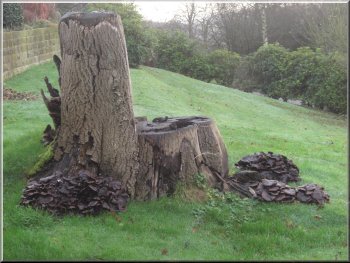
Fungus covered tree stump by the drive above the pub
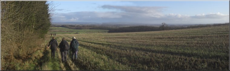
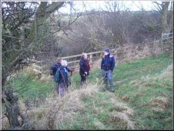
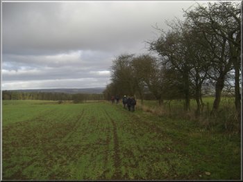
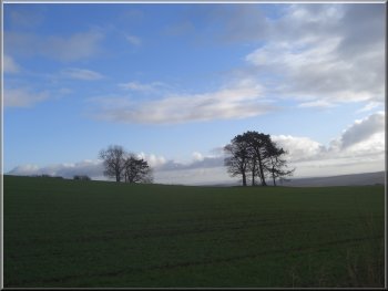
Path contouring round the hillside above Ampleforth
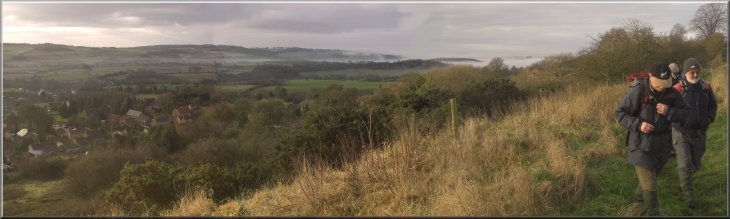
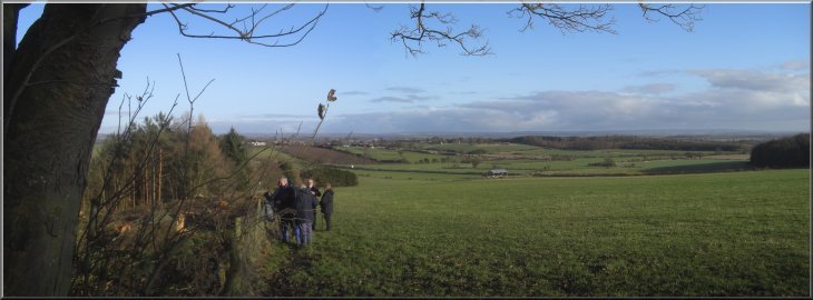
Where the drive makes its final turn to approach the house the path goes straight on up the hillside over a stile. About 100m
beyond the stile at the field boundary we turned right following a public footpath along the edge of the fields contouring around the
hillside above Ampleforth village. It was a bright day and looking away to the south west there were still patches of low cloud in the
valleys glinting in the morning sunshine. |
This morning my wife and I met a group of friends for our regular monthly walk together. This time we met in the village of Ampleforth.
Parking can be a bit awkward in the village but we began our walk from the car park of the White Horse pub. There's a public footpath
through the car park along the drive to a private house on the hillside above the pub. We followed the path along the drive almost to the
house.
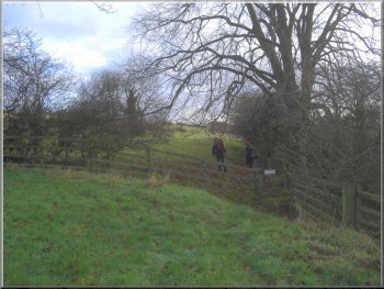
The path up out of Ampleforth
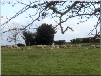 Sheep on the hillside above the path
|
Path contouring round the hillside above Ampleforth
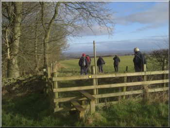
Climbing up across the fields to the road at Windmill Farm
|
Path out to the road at Windmill Farm
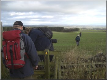
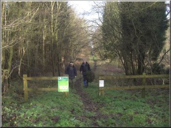
Stile at the corner of the plantation
We
continued on the public footpath along the edge of the fields next to the plantation for about 1.5km to map ref. SE610808. Here the
footpath crosses a farm track and we turned left to walk along the farm track for about 70m to the edge of Oxclose Wood. |
We continued along this path for about 1km and then the path turned up the hillside for about
300m to the road at the side of Windmill Farm. At the road we turned right and walked along the road for about 400m to Beacon House
on the right. Here we turned off the road and followed a public footpath across the fields to the corner of a large forestry plantation.
Path across the fields from Beacon House
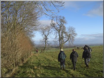
Path along the edge of the plantation
|
|
Path along the edge of the plantation
|
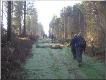
Track beginning the climb up through Oxclose Wood
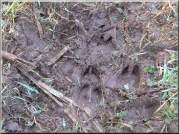
Deer tracks on the muddy path
Track through Pry Rigg Plantation
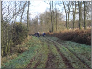
We followed the track along a ridge near the northern boundary
of Oxclose Wood for a little over 2km to the start of Pry Rigg Plantation. We continued along the track through Pry Rigg Plantation for
about 1km to the road at map ref. SE584799. |
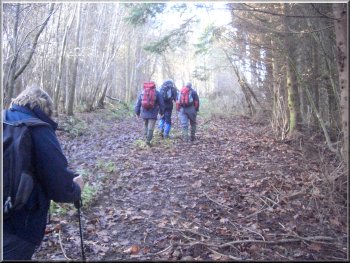
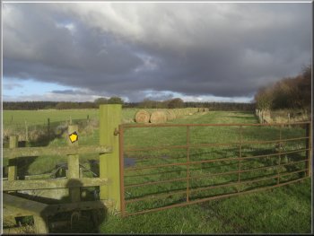
There's a
gate on the right of the farm track and we went through the gate and along a track over a few metres of boggy land and then up through
the woodland. The woodland is open access Forestry Commission land.
Track climbing up through Oxclose Wood
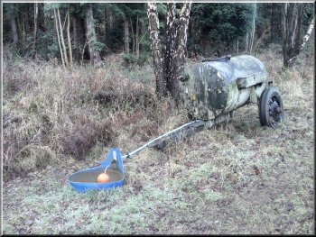
Water bowser and drinking trough, intended for pheasants?
Emerging from Pry Rigg Plantation on to the road
|
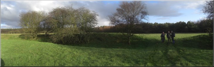
Standing in the entrance to the Studfold Ring Bronze Age earthwork
|
Looking back along the path towards Studfold Ring
It dates from
the Bronze Age and its name probably comes from its later use by the Saxons as a horse enclosure. From the earthwork we continued
along the public footpath for a little over 1km down the hillside and back into Ampleforth, retracing our route for the final 300m back into
the pub car park. |
At the road we turned right on to the road for about 150m and then left off the road on to a
public footpath across the edge of a field with some woodland on our left. After about 250m we came to an large earthwork on our right
called Studfold Ring. It's a ditch and rampart, a
rounded rectangular shape in plan, but it is clearly not defensive because the ditch is on the inside of the circular rampart.
Path heading back towards Ampleforth
|
The view over Ampleforth as we began to drop down the hillside to the pub car park
|