|
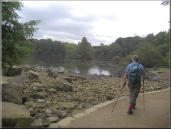
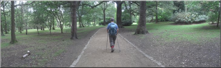
Setting out around the lake in Golden Acre Park
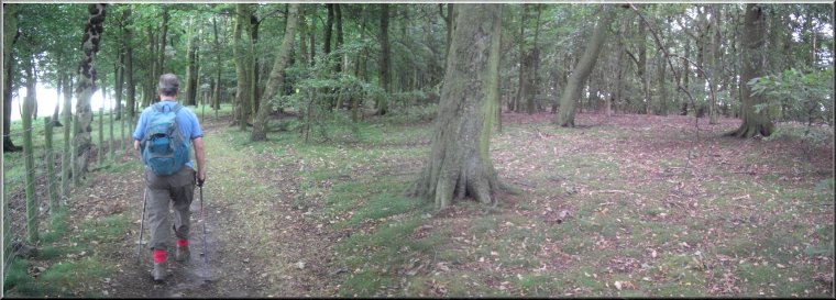
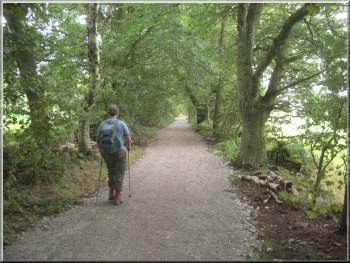
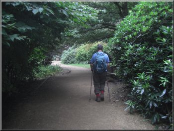
Track between Golden Acre Park and Adel Dam nature reserve
In the 1930's Golden
Acre Park was a theme park with fairground rides, boats on the lake,
miniature railway, cafes etc. We followed the gravel path through the
park around the southern side of the lake, past the duck feeding area,
to join a public bridleway at map ref. SE270414.
|
This morning we made an early start and drove to Golden Acre Park on
the Leeds to Otley road (A660) and parked in the car park at amp ref.
SE266417 before 9.30am. The weather forecast for today was OK for this
morning but lots of rain coming in from the south west around 3.00pm.
We left the car park through the pedestrian underpass beneath the A660
and into the park.
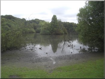
Muddy margin of the lake in Golden Acre Park
Track heading for Arthington Road
|
|
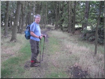
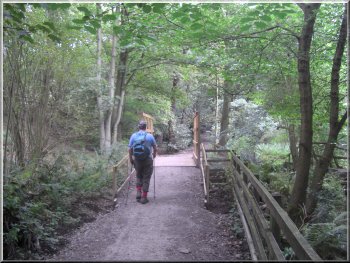
Woodland path from King Lane to Black Hill Lane
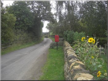
Lane through the hamlet of Eccup
Looking across the field to Bank House Farm
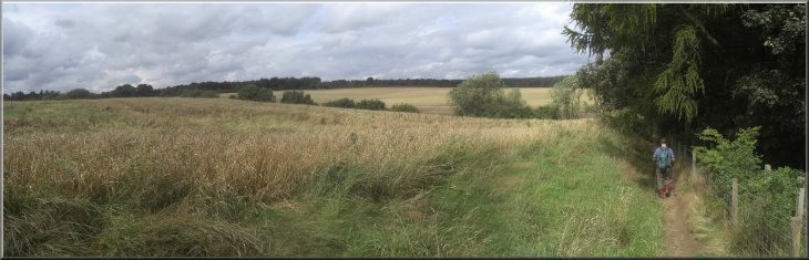
We followed the path through the woodland for about 1km to Black Hill
Lane at map ref. SE281422. At the road we turned right and walked along
the road for about 300m to the junction with Eccup Lane. We turned left
to walk along Eccup Lane, again quite a busy road, for about 400m to
a junction at map ref. SE286425. Here we turned right to walk through
the hamlet of Eccup to Bank House Farm.
|
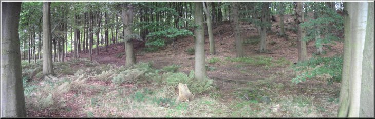
We turned left to follow the bridleway, quite a wide track, to a Arthington
Road at map ref. SE276416. The traffic here is very busy and we crossed
the road to walk along King Lane, also busy, for about 200m to map ref.
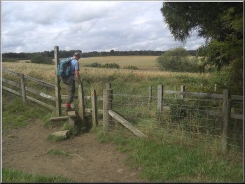
SE278415. Here we turned left off the road to climb over a stile into
some woodland.
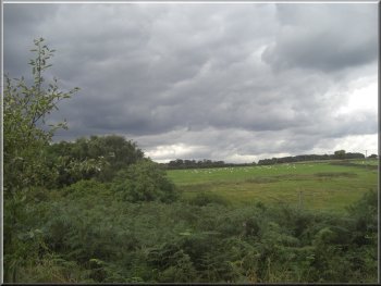
Shower clouds over Eccup - can it stay dry?
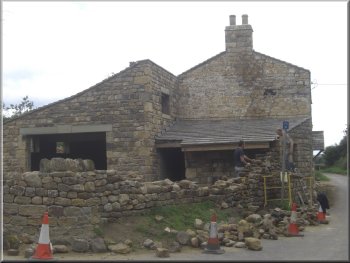
House renovation in Eccup
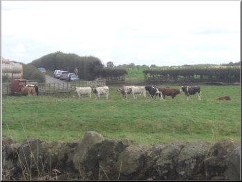
Cattle at Bank House Farm
|
|
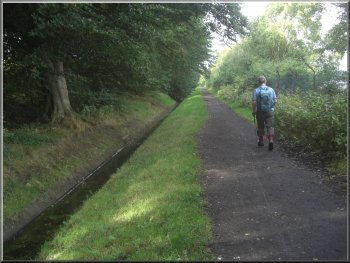
Setting out along the access road to the water treatment works
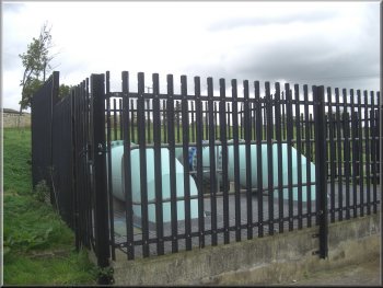
Water works paraphernalia near the dam
At the end of the access road we followed the path down the side of
Owlet Hall to the dam at the end of the reservoir.
|
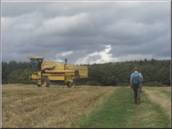
We continued past Bank House Farm along the access road to Eccup Water
Treatment Works. From the access road there was only an occasional glimpse
of the reservoir through the trees down to our right.
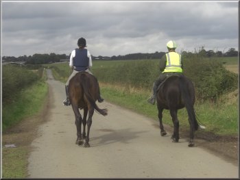
Riders heading towards Eccup
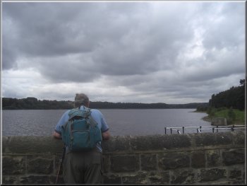
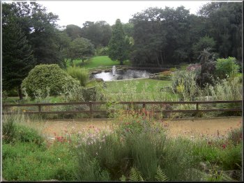
Looking across Eccup reservoir from the dam
|
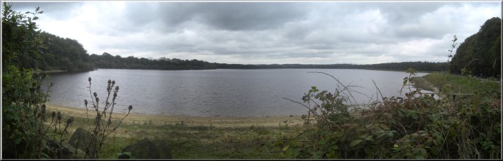
Looking along Eccup reservoir from a little beach near the dam |
Beech woods next to Eccup reservoir |
|
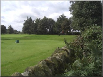
Woodland next to Alwoodley Golf Course
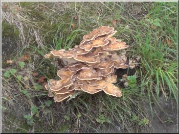
Chicken of the woods fungus on the roots of a beech tree
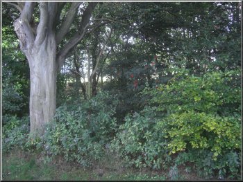
There is only an occasional view of it through the odd gap in the fence
and the trees. There is a very attractive beech wood next to the reservoir
and we sat on a bank next to a large beech tree for our break but even
on this ban we could not see over the tree screen to the reservoir.
|
We followed the path across the dam and continued around the edge of
the reservoir. There is a good view of the reservoir from the dam, but
the edge of the reservoir is fenced with a tall chainlink fence and
screened with a belt of trees and shrubs.
Path around the reservoir screened by trees and shrubs
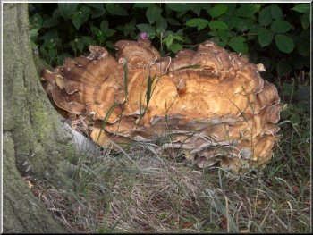
Chicken of the woods fungus on the roots of a beech tree
|
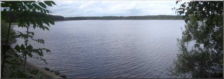
A rare view of Eccup reservoir through a break in the fence |
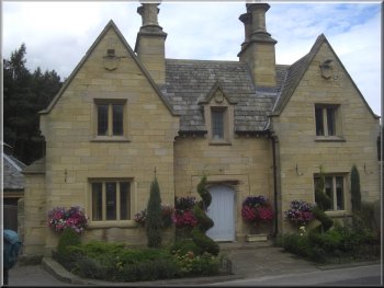
Old Eccup reservoir lodge |
The path round the reservoir joins the Dales Way route |
On the Dales Way route heading for Eccup Moor Road |
|
Dales Way route heading for Eccup Moor Road
Headingly Golf Course by Eccup Moor Road
Heading for Five Lane Ends along Eccup Moor Road
After just over 1km we reached Five Lane Ends at map ref. SE279415.
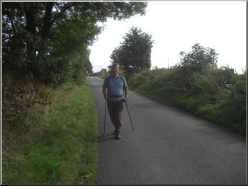
From Five Lane Ends we walked along King Lane back to Arthington Road.
We crossed Arthington Road and followed the track back to a pedestrian
gate into Golden Acre Park at map ref. SE272415.
|
After our break we continued on the path around the edge of the reservoir
until we reached Eccup Moor Road at map ref. SE287420. At the road we
turned left to walk along Eccup Moor Road.
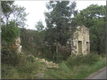
Ruined buildings on eccup Moor Road
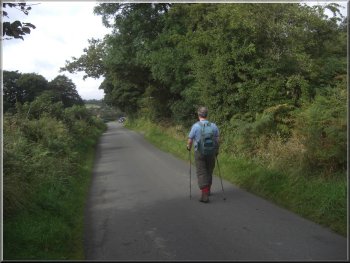
Heading for Five Lane Ends along Eccup Moor Road
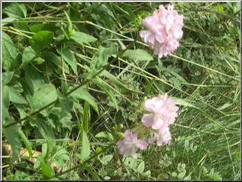
Flowers in the roadside verge
|
|
Heading for the cafe in Golden Acre Park
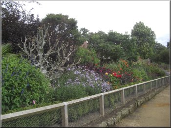
Flower bed in Golden Acre Park
The weather was still fine enough to sit out side despite the black
shower clouds racing across the sky. We made our way through the park
back to the car park and had almost reached home before the rain caught
up with us.
|
We turned right off the track to enter the park and walked around
the northern side of the lake to the cafe (& toilets) in the park at
map ref. SE267418. We stopped at the cafe for a coffee and a bacon roll.
View from the cafe terrace in Golden Acre Park
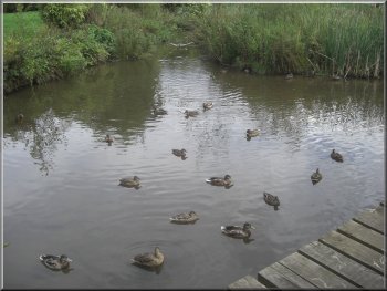
A last look at the ducks as we left the park
|
Returning through Golden Acre park towards the cafe |