|
Oak
tree that we recorded at Studley Deer park
Oak
tree that we recorded at Studley Deer park
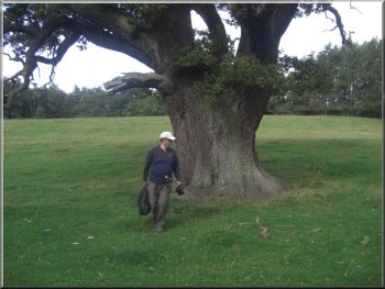
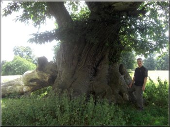
From there we followed a public footpath up the hillside to record
details of an old oak tree just off the path at map ref. SE 28343 69110
(this is a map ref. from my gps - it's important to have an accurate
fix on the exact tree so that someone else can find it easily) The upper
branches of the tree are dying back showing that the tree is well into
the last third of its life.
|
Today my friend , Jim, and I decided on a visit to Studley Deer Park
near Ripon where there are many magnificent trees in the parkland. I
have been a supporter of the Ancient
Tree Hunt for some time and we planned to record a few trees to
add to their database. Anyone who spots a big fat old tree can add details
of it to the Ancient
Tree Hunt web site. We parked in the car park near the lake at map
ref. SE278691. The deer park adjoins the grounds of Fountains Abbey
and the property is managed by the National Trust and English Heritage.
We walked around the edge of the lake and crossed the footbridge over
the River Skell at the outlet from the lake.
Oak tree that we recorded at Studley Deer park
|
|
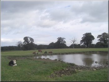
Pond near the edge of the deer park
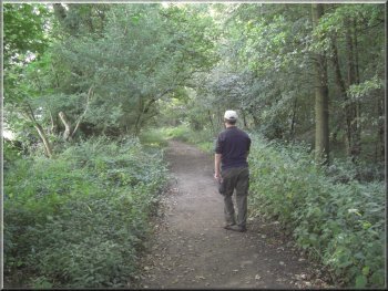
Path around the outside of the deer park
Here we turned left again down a wooded valley to a for across the
River Skell. There is a footbridge just upstream of the ford but we
used the ford and crossed completely dry. The river has disappeared.
It goes underground about 1.5km upstream and only flows after wet weather.
|
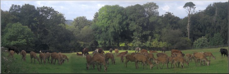
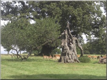
The tree is growing in a large field where both cattle and red deer
were grazing. After recording details of the tree we continued up the
slope to the gate house at the edge of the deer park at map ref. SE285685.
At the gate house we turned left to follow a path a round the edge of
some woodland for about 500m to a junction in the track at map ref.
SE291686.
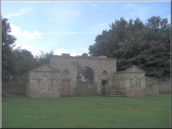
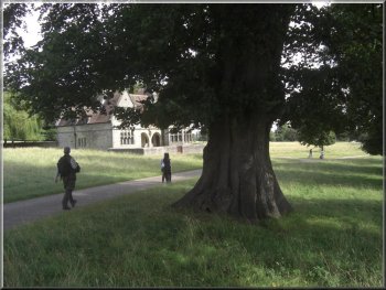
The gate house at the edge of the deer park
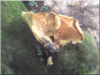
Chicken-of-the-woods fungus
|
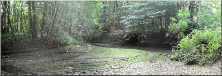
The dry bed of the river Skell at the ford |
|
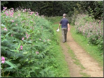
Japanese water balsam growing by the path
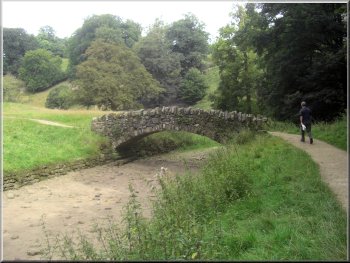
One of the stone bridges across the river Skell
Originally when the parkland was laid out there were seven wooden bridges
designed to look like a Chinese garden.
|
Once we were across the ford we turned left to follow the path up the
valley back to the deer park. This is part of the "Seven Bridges Walk".
Nowadays there are only 5 stone bridges over the meandering river. Originally
when the parkland was laid out there were seven wooden bridges designed
to look like a Chinese garden.
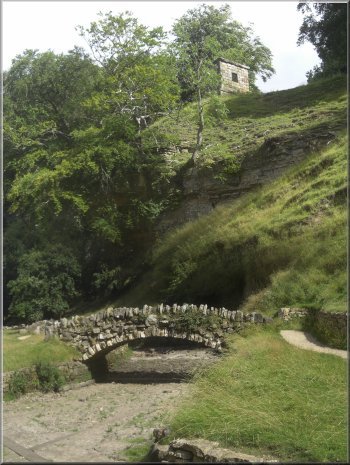
One of the stone bridges across the river Skell
|
|
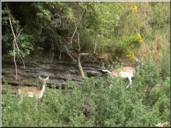
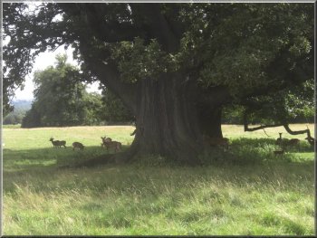
Two fallow deer on a ledge across the valley
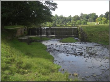
Outlet weir from the lake in the deer park
We followed the path back to the end of the lake and from there we
took the road through the park towards the north exit.
|
Along the way we came to a very large tall sweet
chestnut tree(tree no. 3315) that we had recorded for the Ancient
Tree Hunt a couple of years ago.
Sweet chestnut tree by the river Skell in Studley Deer park
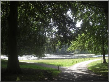
Looking back to the lake in the deer park
|
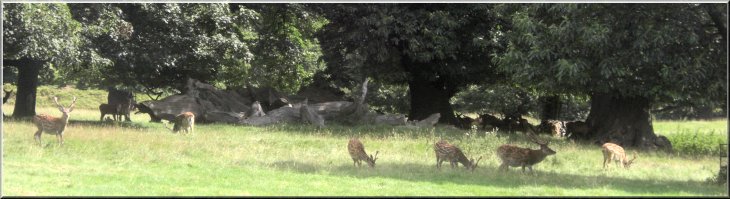
Fallow deer stags grazing together before the rut starts in October |
|
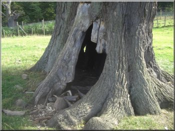
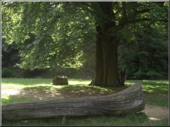
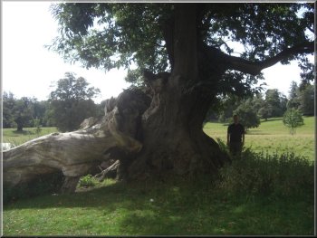
Champion wild cherry tree at Studley Deer park
I believe it is the largest girth(6.42m) and therefore probably the
oldest tree of its kind in Britain, now sadly approaching the end of
its long life. There is a cherry
tree in Cumbria with a girth of 5.3m but nothing else comes close.
We left the oak and the cherry tree behind and headed across the parkland
past the herds of red deer and fallow deer to the road leading through
the park to St. Mary's Church.
|
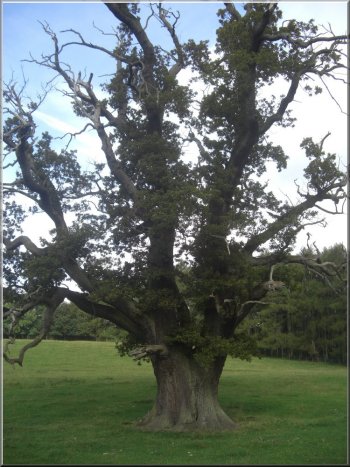
After about 600m we came to two striking trees close to one another.
There is a large healthy oak(tree
no. 3316) at map ref. SE 2801 6980, and an ancient wild
cherry(tree no. 4853) now with only one branch still bearing any
leaves. At first the oak seems much the more impressive tree, but on
reflection this amazing old cherry tree impresses me more.
Ancient Oak tree at Studley Deer park
|
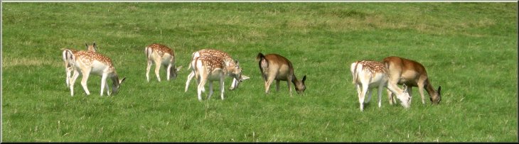
Fallow deer grazing in Studley deer park |
|
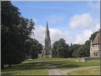
St Mary's Church in Studley Deer Park
Ancient
sweet chestnut near St Mary's Church
We had hardly set off again along the road when we saw a huge old sweet
chestnut tree(tree no. 32310) down the slope on the opposite side
of the road to the church. We just had to stop again and record its
details, but when I checked on the Ancient Tree Hunt web site it was
already recorded.
|
Here the road is lined with lime trees and just before we reached the
church we noticed one of the lime
trees, at map ref. SE 27618 69311 is much bigger than the rest so
we stopped to make a note of its details.
Lime tree at Studley Deer park
Ancient sweet chestnut near St Mary's Church
|
|
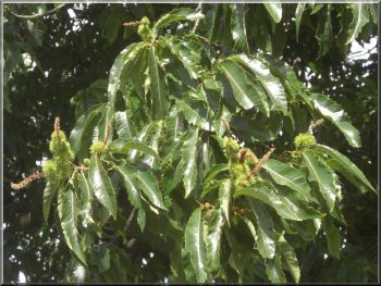
Leaves and this year's fruit of an ancient sweet chestnut tree at Studley
Deer park
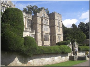
Fountains Hall near the west gate to the abbey site
From there we followed the path back along the water gardens to the
deer park and the end of our tree hunting walk. It had been a very pleasant
day out. We had walked a little under 8km but with our lunch break and
many stops to admire and record details of the trees it had taken us
around four hours. Our route home took us through Boroughbridge where
we called at Morrisons supermarket cafe for a bacon roll.
|
We left the deer park at the exit near the obelisk, map ref. SE273692.
We followed the path around the outer wall of the deer park to the Fountains
Abbey Visitor Centre at map ref. SE272686. We stopped for our lunch
break at the visitor centre cafe where to our horror they had stopped
doing bacon and egg breakfasts at 11.30am. After our break, just a coffee,
we made our way down to the abbey ruins. It's a really impressive sight
no matter how many times I come here.
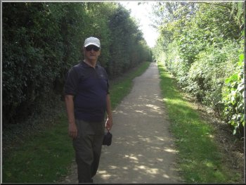
Path to the visitor centre outside the deer park
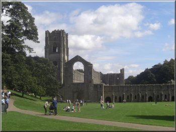
Fountains Abbey
|