|
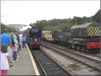
Our train pulls into Norden station
It is a huge car park and the "ride" part of the scheme
is on the Swanage steam railway. We bought our tickets
and joined the hordes of other people on the platform
to catch the 12.30pm train. It was a very pleasant ride
through the village of Corfe Castle to Swanage.
|
This
week we are on holiday on the Dorset coast with our daughter
and her family, we're the built-in baby sitting service!
Today is our day off and my wife and I drove to the Norden
"park & ride" car park just outside the village of Corfe
Castle at map ref. SY957828.
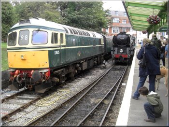
Leaving the train at Swanage
|
|
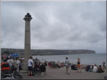
The sea front at Swanage
After
about 800m at map ref. SY031796 we followed the road as
it turned away from the beach up a gentle rise. After
about 600m we turned up a pleasant residential road for
another 150m.
|
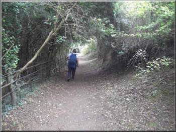
From the station we walked a couple of hundred metres
to the sea front and there turned left to walk along the
road at the edge of the beach.
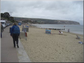
Walking along the sea front at Swanage
|
|
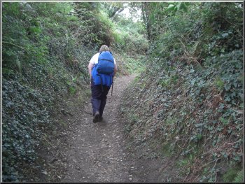
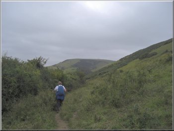
Climbing up to the Purbeck Way from Swanage
Here
the path met the Purbeck Way and we turned left to follow
it around the hillside to a road at map ref. SY018812.
|
There
was a path between the houses and through to the fields
beyond the houses at map ref SY028805. We continued up
the hillside for about 500m to map ref SY029811.
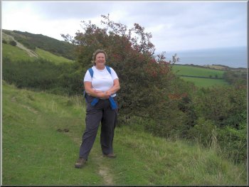
Joining the Purbeck Way above Swanage
|
|
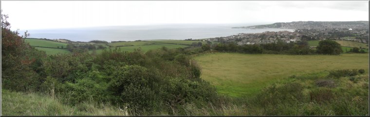
View over Swanage Bay from the Purbeck Way
|
|
Purbeck Way heading west around the foot of Ballard Down
|
Purbeck Way at the foot of Ballard Down below the obelisk
|
|
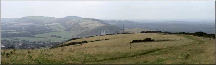
The track climbing up the end of Nine Barrow Down
Behind
us was a view back toward Swanage. On the right hand side
of the track there were occasional views over Pool Harbour
and ahead of us was a view over Corfe Castle along the
Purbeck Hills.
|
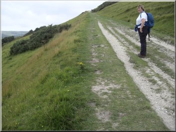
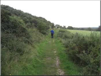
We
crossed the road and began the climb along the Purbeck
Way up to the top of Nine Barrow Down. We followed the
Purbeck Way for over 3.5km along the ridge.
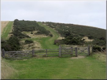
Grassy track along the ridge of Nine Barrow Down
|
|
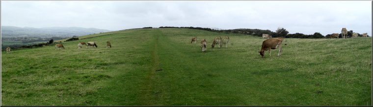
Jersey cattle grazing by the grassy track along the ridge of Nine Barrow
Down
|
|
Grassy track along the ridge of Nine Barrow Down
|
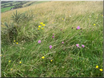
Wild flowers amongst the grasses beside the Purbeck Way
|
|
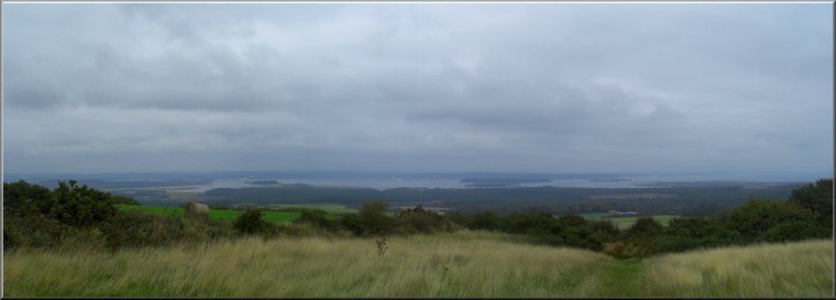
Poole Harbour seen from the Purbeck Way on a rather gloomy
day
|
|
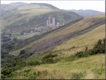
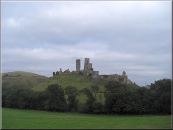
Corfe Castle in the Purbeck Hills
|
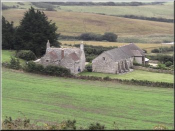
A Dorset farmstead seen from the Purbeck way
|
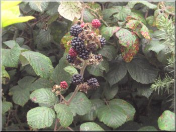
Blackberries by the path
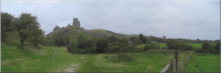
We
walked through the northern end of the village and kept
on the Purbeck Way around the foot of the castle embankment.
|
At
the radio mast at map ref. SY972821 we continued on the
Purbeck Way down the hillside to Corfe castle village.
Dropping down into the village of Corfe Castle
|
|
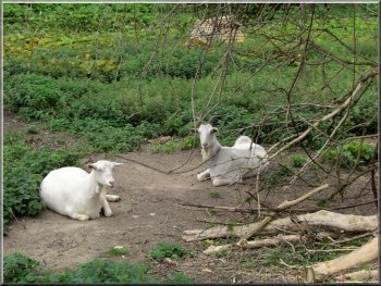
Siesta time for two Saanen goats
|
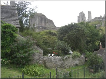
Corfe Castle above the cottages of the village
|
|
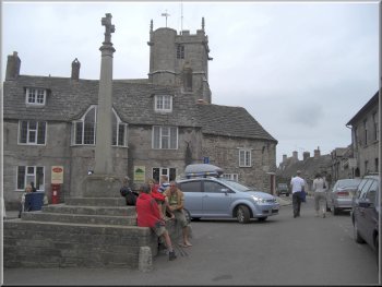
The village of Corfe Castle
|
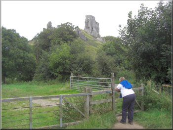
Looking back to Corfe Castle
|
|
Looking back to Corfe Castle
|
|
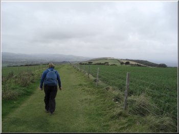
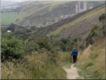
Heading north
on the Purbeck Way toward Norden station
We
walked about 300m along the road to the entrance to the
"Park & Ride" car park to complete our walk. The whole
route had been 11.5km and had taken us three and a half
hours to walk. (We had a coffee break in Swanage before
we set off)
|
About
600m from the village at map ref. SY956825, the Purbeck
Way turns left but we continued straight on to the main
road (A351).
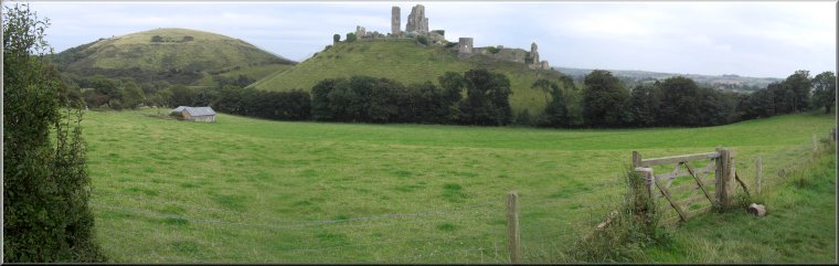
Looking back to Corfe Castle from the Purbeck Way
|
|
Looking back to Corfe Castle from the Purbeck Way with Challow
Hill to the left
|