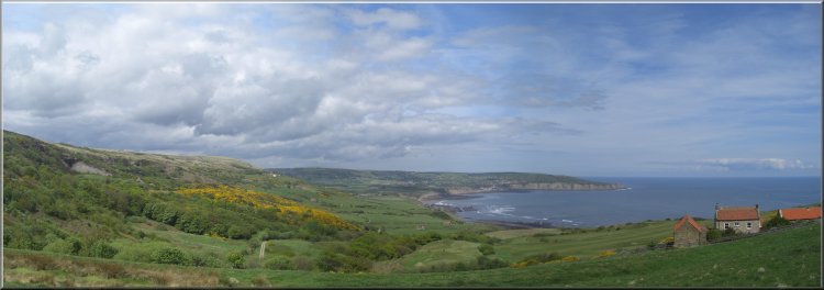
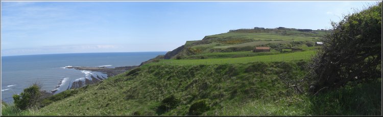
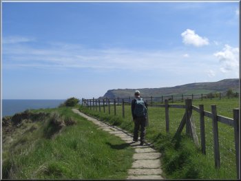
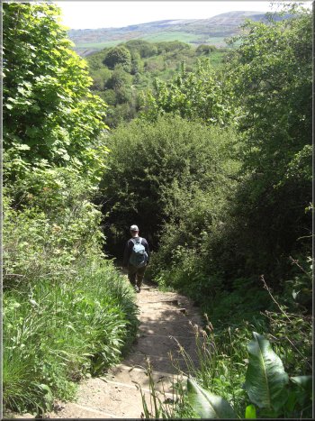
Cleveland Way heading north from Ravenscar
|
Cleveland Way heading north from Ravenscar
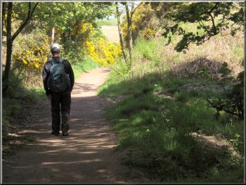
Due to our late start we did not begin
walking until about 11.00am. We
set off along the Cleveland Way to the old Alum Works
about 1km away. We stopped for a quick look at the information
boards on the site. It is a fascinating story about the
alum industry on this site that lasted for around 200
years.
|
This
morning I had a brief hospital appointment and after that
my neighbour, Jim, drove the two of us to Ravenscar on
the Yorkshire Coast, about 12kms Southeast of Whitby. We
parked on the roadside near the tourist information office
(which as usual was not open) overlooking Robin Hood's
Bay to the north. Due to our late start we did not begin
walking until about 11.00am.
Cleveland Way heading north from Ravenscar
|
|
Looking back to Ravenscar from the Cleveland Way |
War time bunker ready to fall into the sea
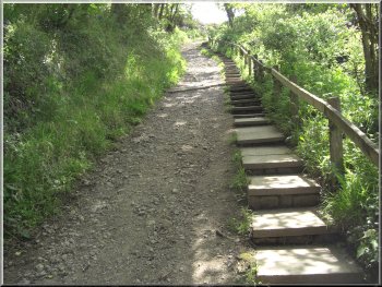
Path down to Stoupe Beck
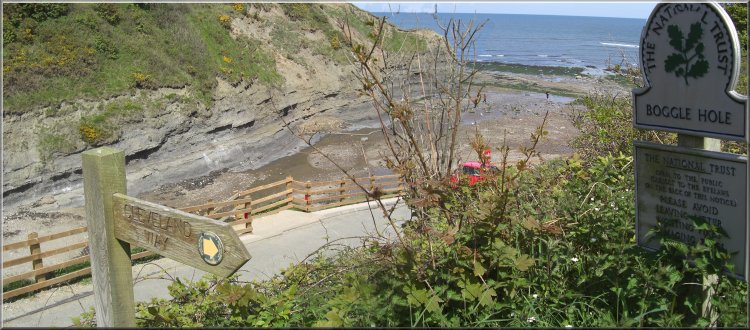
The
tide was going out and it was almost low water so we were
quite safe to walk along the beach to Boggle Hole.
|
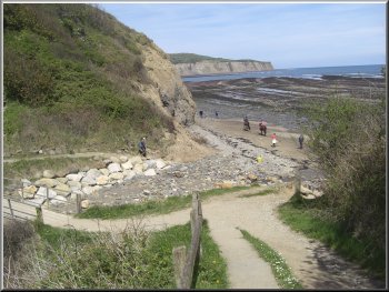
We
continued along the Cleveland Way for another 2km to Stoupe
Beck and followed the path down the steps to the beach.
Path down to Stoupe Beck
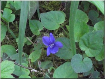
Violet by the path
|
Following Stoupe Beck on to the beach
|
Heading north from Stoupe Beck to Boggle Hole |
Looking back to Ravenscar from the beach at Stoupe Beck
|
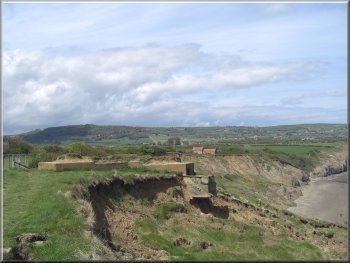
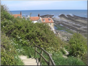
Erosion of the shale cliffs near Boggle Hole
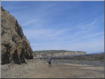
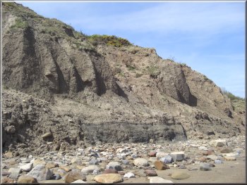
The
cliffs on this part of the coast are made of shale, the
same material that was quarried at Ravenscar for the alum
industry. It's a soft material and the cliffs are eroding
fast.
|
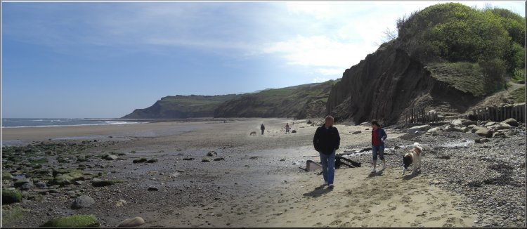
From
Boggle Hole we continues along the beach to the village
of Robin Hood's Bay.
Robin Hood's Bay from the beach
|
Ice cream van at Robin Hood's Bay
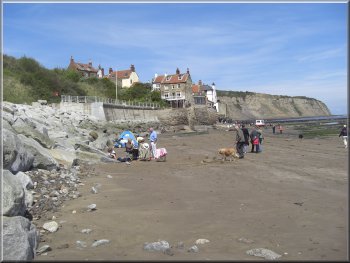
At
Robin Hood's Bay we sat on a seat on the small promenade
on the sea defences for our lunch. I had to give the sea
gulls an aggressively hard stare to protect our sandwiches
from attack!
|
It
was a warm sunny day with a cool breeze and there were
lots of people about including groups of school children,
each group with different coloured baseball caps, red
group, green group and white group - all very well organised.
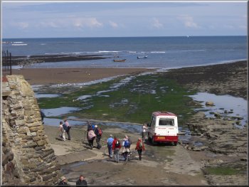
The slipway at Robin Hood's Bay
|
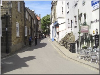
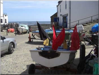
Robin Hood's Bay
village |
The Cleveland Way leaving Robin Hood's Bay |
Looking back to Robin Hood's Bay village from the Cleveland
Way
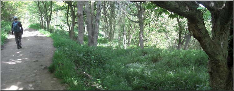
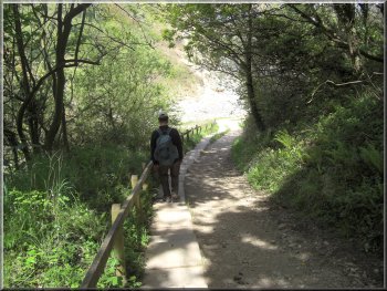
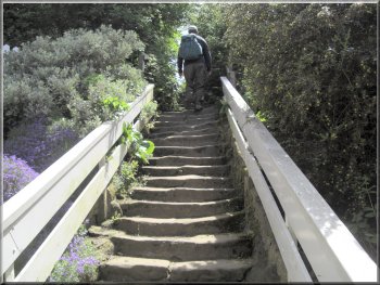
The
path dropped steeply down through some woodland to Boggle
Hole and a footbridge over Mill Beck next to the Youth
Hostel.
|
After
lunch we climbed the steps out of Robin Hood's Bay along
the Cleveland Way cliff top path, heading back towards
Ravenscar.
Looking back to Robin Hood's Bay village from the Cleveland
Way
|
Cleveland Way cliff top path leaving Robin Hood's Bay |
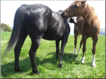
Mutual grooming is very pleasant |
|
Boggle Hole from the Cleveland Way |
|
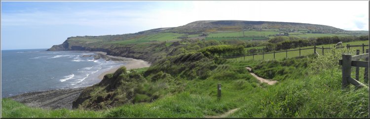
Approaching Stoupe Beck on the Cleveland Way cliff path
|
We
climbed up the other side and continued along the cliff
top to Stoupe Beck. Again the path dropped down steeply
through the woods to beach level and we crossed the footbridge
and climbed the steps up the hill to the road at map ref.
NZ957033.
Dropping down to Stoupe Beck on the Cleveland Way
|
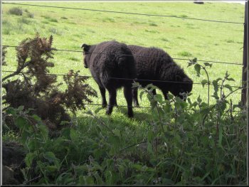
Soay lambs beside the road
Joining
the path along the disused railway above Stoupe Beck
From
there we continued up the road for about 1km, quite a
steep climb, to the disused coastal railway at map ref.
NZ960024.
|
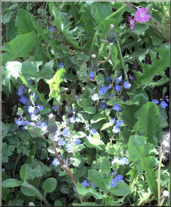
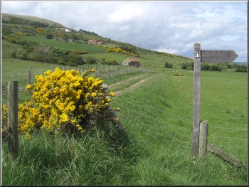
Blue Speedwells by the path |
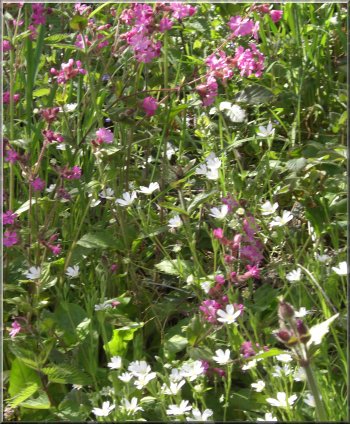
Red Campion and white Stitchwort by the path |
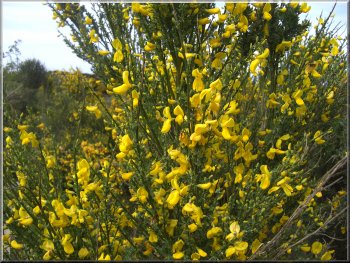
Yellow Broom (no prickles) growing with the gorse by the
path |
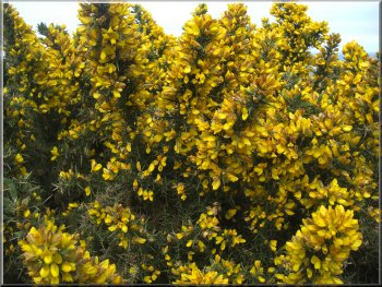
Yellow Gorse (or Furse) by the path |
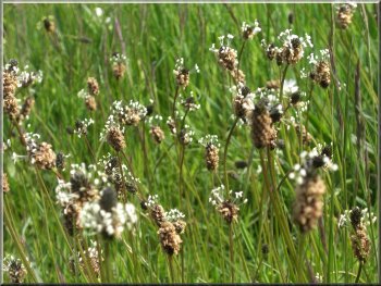
Plantains in flower amongst the grass
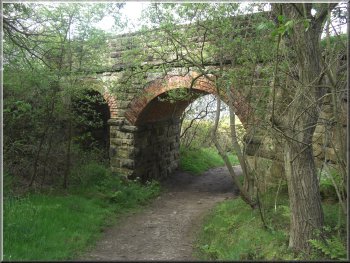
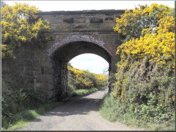
Path under the railway near Ravenscar
We stopped in Helmsley on the way back hoping to get our
usual coffee and bacon sandwich to round off the day but
we only managed a coffee. We tried three cafes only to
find that they had already stopped cooking food for the
day. The message seems to be "Go home all you tourists,
it's past 4.00pm"
|
The
railway is now a footpath and cycleway and provides an
excellent opportunity for circular walks anywhere along
the coast between Scarborough and Whitby using the railway
path one way and the Cleveland Way path to return, or
vice-versa. We followed the railway back to Ravenscar.
The whole route had been about 10km and had taken us three
and a half hours to walk including a look around the old
alum works and a leisurely lunch on the promenade in Robin
Hood's bay - a really gorgeous day at the seaside!
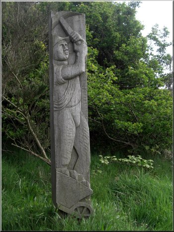
Sculpture near Ravenscar showing a quarry worker
from the old Alum industry there
|
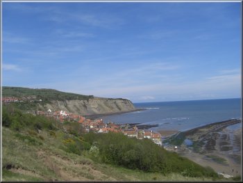
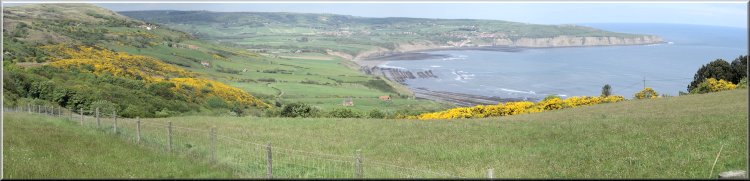 Looking
back across Robin Hood's Bay
Looking
back across Robin Hood's Bay |