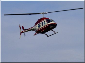
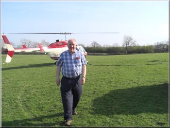
Ready for take
off from the Old Station Inn at Giggleswick
Today
my wife rang up as usual expecting the recorded message
we have become used to, only to find that the flight was
on! We drove across to Settle for our lunch and then made
our way to the take off and landing site near the Old
Station Inn at Gigglewick.
|
Last
summer my son and his wife bought me a helicopter flight
for my birthday present. Ever since I have been booked
on each available flight only to discover on the day of
the flight that the weather was not suitable to go.
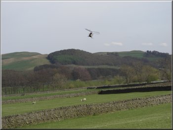
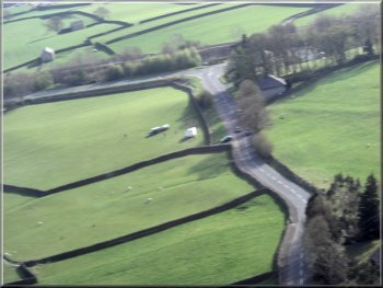
Heading out towards Malham fron Settle
|
|
Climbing out of
Ribblesdale towards Malham
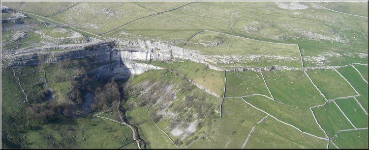
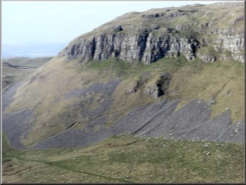
From
Malham Cove we flew ovwe Gordale Scar. A deep limestone
gorge with a great path through it up the side of the waterfall
and a steep climb out up a narrow scree slope and a path
to Mastiles Lane.
|
We
climbed up over Settle and Sugar Loaf Hill towards Malham
and in a few minutes we were looking down on the limestone
cliffs of Malham Cove and the pilot slowed to give us a
good view of this spectacular place. I tried to imagine
the huge waterfall crashing over these cliffs as the glaciers
melted at the end of the last ice age.
Gordale Scar
|
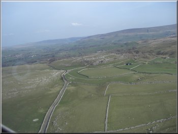
Mastiles Lane over Kilnsey Moor to Kilnsey
As
we approached Conistone we could see up Conistone Dib,
another impressive limestone valley with a tight limestone
gorge at both the top and the bottom.
|
From
Gordale Scar we continued heading northeast following
the line of Mastiles Lane over Kilnsey Moor to Conistone
in Wharfedale.
Conistone Dib
|
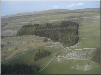
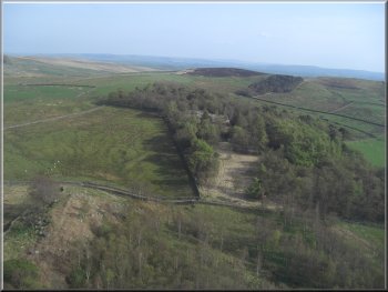
Dales Way descends through the corner of the wood to the
lane to Kettlewell
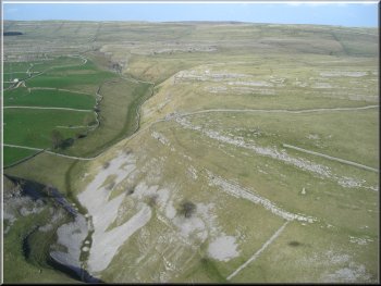
From
there we followed the valley down to Kettlewell with an
amazing view of the tiers of limestone scars across the
valley from the town.
|
We
flew around Great Whernside and up park Rash. We flew
down one side of Coverdale and back up the other to Buckden
Pike.
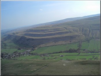
Limestone scars above Kettlewel
|
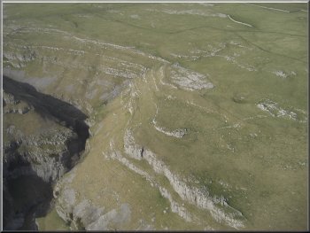
Gorge leading from Malham Tarn down to Malham Cove
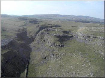
From
there we continued east to the limestone crags near Settle,
Great Scar, Settle Scar and Attermire Scar where the path
on the ground turns north towards Victoria Cave.
|
From
Kettlewell we flew round Knipe Scar at the end of Litondale
and headed south west to see Malham Tarn and fly over
the narrow limestone gorge leading from the tarn to Malham
Cove.
Attermire Scar above Settle
|
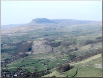
Looking up Ribblesdale to Pen-y-ghent
It
had been a long wait for the flight, but today conditions
were ideal and the views of the limestone country had
been superb.
|
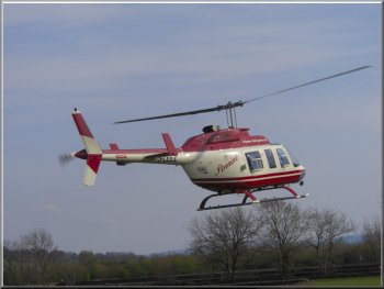
From
Attermire Scar we could see over Settle and up Ribblesdale
to Pen-y-ghent. All too quickly the landing field came
into view and with a very gentle landing our flight was
over.
Approaching the landing field
|
Coming in to land |
Coming in to land |
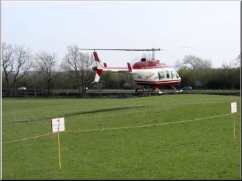
Close to touch down |
Back on the ground |