| 2001 walks | 2002
walks | 2003 walks | 2004
walks |
| 2005 walks | 2006
walks | 2007 walks | 2008
walks |
| 2009 walks | 2010
walks | 2011 walks | 2012 walks |
| 2013 walks | 2014 walks | 2015 walks | 2016 walks |
| 2017 walks | 2018 walks |1993-2000 library | Find a Route |
| A few Routes to print out | Request a Route... |
Route No.228 Thursday -
4 October 2007
Telegraph Hill car park, Amberwood Inclosure,
Fritham circuit - 8 km
The New Forest,
Hampshire . . .
Map:
OS Explorer OL22 New Forest at 1:25000
Route
Map on 'Landranger' base map from OS Open Space service
Open this route in Google Earth
| Saturday | Monday
| Tuesday | Wednesday
| Thursday |
| New Forest Index |
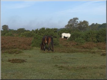
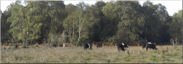
Ponies grazing near Telegraph Hill car park
We
set off in a south westerly direction on a track across
the heath with the woodland on our left for about 3.5
km to the edge of Amberwood Inclosure at map ref. SU208142
|
This would be our last day for a walk before
driving home on Friday. We drove a few kilometre down
the road to the car park at Telegraph Hill, map ref. SU229166.
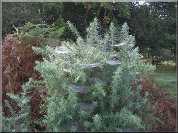
Dewy cobwebs on the gorse
|
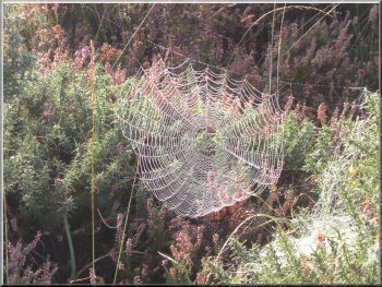
Dewy cobweb on the gorse |
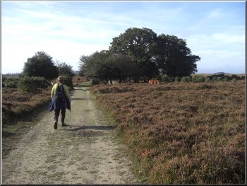
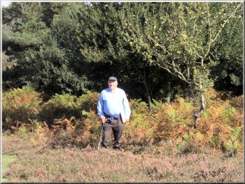
Heading across the heath towards the Amberwood Inclosure
|
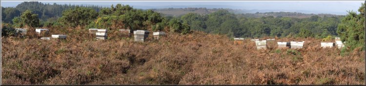
Bee hives brought
here to harvest the heather honey |
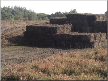
Stack of heather bales
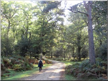
Heading
through the forest towards Fritham
|
We
turned right to follow the track through the woods for
about a kilometre to edge of the wood at map ref. SU223142
where there are some open fields to the left. We continued
along the track to the road at map ref. SU231142.
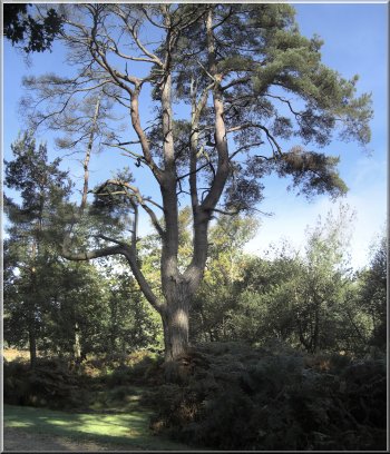
One of my favourite trees - a huge Scots Pine against
a lovely blue sky
|
|
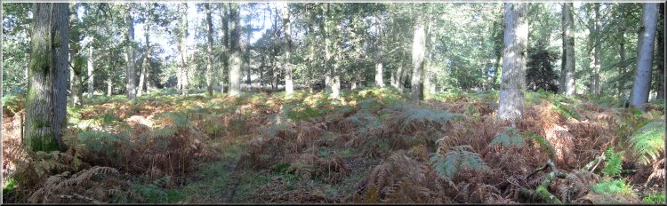
Heading through the forest towards Fritham |
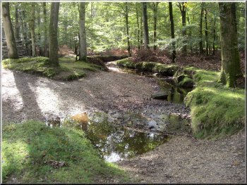
A stream winding its way through the forest |
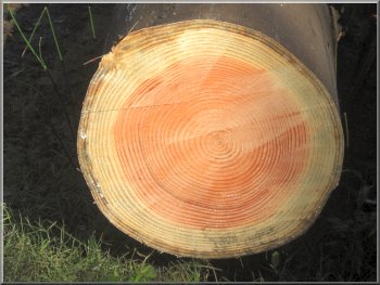
Count the annual growth rings on this 34 year old conifer
|
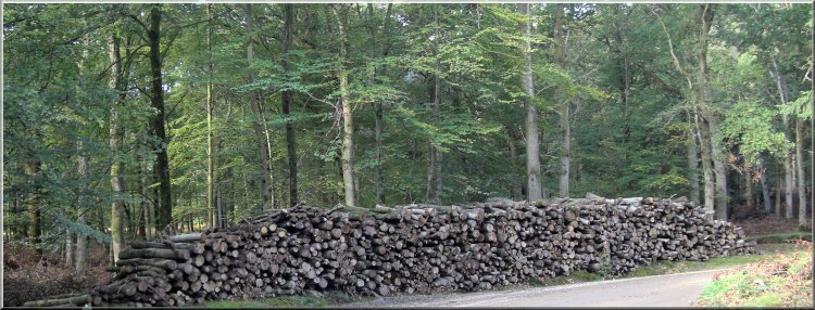
Stack of sawn logs by the forest track |
Just
to the side of the track at map ref. SU231142 there is
a black letter box with an information board next to it
which I have reproduce opposite.
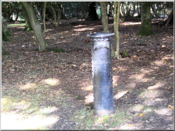
The Powder Mill post box
From
here it was only about 150m to the Royal Oak pub at Fritham.
We sat at a picnic table in their beer garden for a very
pleasant half an hour.
|
|
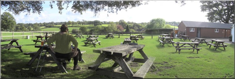
Beer garden at
The Royal Oak in Fritham |
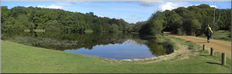
Irons Well pond - this is iron rich or chalybeate water
|
Returning across the heath to Telegraph Hill
At map ref. SU231149 we turned left off the track to follow
a path across the heathheading roughly north for almost
2 km back to the car park at Telegraph Hill. The route
had been 8 km and at my decrepit pace it had taken us
over four hours including our stop at the Royal Oak in
Fritham.
|
After
our break we retraced our steps to the old powder mill
post box and continued along the road for another 600m
to a very pretty pond called Irons Well. At the pond we
turned right off the road to follow a track through some
woodland and out into some more open heath.
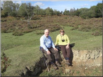
Resting by a stream on the way back to Telegraph Hill
|