white horse logo

Looking East towards the Stiperstones from Pole Bank

Menu:

National Parks

| 2001 walks | 2002 walks | 2003 walks | 2004 walks |
| 2005 walks | 2006 walks | 2007 walks | 2008 walks |
| 2009 walks | 2010 walks | 2011 walks | 2012 walks |
| 2013 walks | 2014 walks | 2015 walks | 2016 walks |
| 2017 walks | 2018 walks | 2019 walks |2020 walks |
| 2021 walks | 1993-2000 library | Find a Route Index |
| A few Routes to print out | Request a Route... |

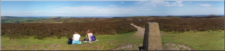
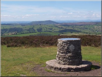
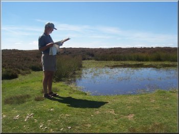
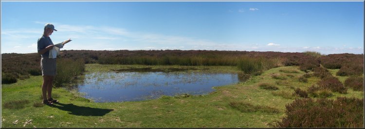
Route No. 222 - Tuesday 31 July 2007
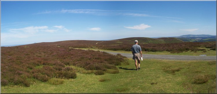
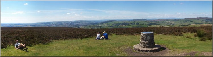
Pole Bank, The Long Mynd - 3 km
Shropshire Hills . . .

Map: OS Explorer 217 The Long Mynd & Wenlock Edge
Route Map on 'Landranger' base
from OS Open Space service
Open this route in Google Earth


Looking North along the Shropshire Way from Pole Bank

The view point on Pole Bank

What a wonderful panorama in the sunshine! After admiring the view in all directions for some considerable time whilst our wives picked bilberries, my brother-in-law and I set off back to the car park and continued north along the Shropshire Way for about 500m to a small moorland pond. There was a good view from here too with the top of the Wrekin just visible to the north east over the moor. We turned back to the car park in time to meet our wives and their bilberries returning from the other direction. A very pleasant but all too brief introduction to the Shropshire Hills.

This week we spent a few days with my sister and her husband at Admaston on the edge of Telford. It's a part of the country that was completely new to me. What a pleasant surprise it was to see the Shropshire Hills for the first time, a group of hills that I never knew existed! The weather was perfect and we spent most of the time sightseeing and frequenting coffee shops. I'm still not fit enough to walk very far but on Tuesday we drove up out of Church Stretton onto the Long Mynd and parked on top of the moor at map ref. SO422953. We walked south along the Shropshire Way for about one kilometer to the trig point and view point at Pole Bank.

Moorland pond on the Shropshire Way

Moorland pond on the Shropshire Way
Moorland pond on the Shropshire Way at map ref.SO426957
The Shropshire Way heading North on the Long Mynd
The Shropshire Way heading North along the Long Mynd
Top of Page