| 2001 walks | 2002
walks | 2003 walks | 2004
walks |
| 2005 walks | 2006
walks | 2007 walks | 2008
walks |
| 2009 walks | 2010
walks | 2011 walks | 2012 walks |
| 2013 walks | 2014 walks | 2015 walks | 2016 walks |
| 2017 walks | 2018 walks | 2019 walks |2020 walks |
| 2021 walks | 1993-2000 library | Find a Route Index |
| A few Routes to print out | Request a Route... |
Route No. 196 - Tuesday 26 September
2006
Chop Gate, Cock Howe, Barker's Crags
Lord Stone's Cafe, Cringle Moor
Cold Moor circuit - 16km
Bilsdale,
North York Moors
Map OS
Explorer OL26 North York Moors Western area at 1:25000
Route
Map on 'Landranger' base from OS Open Space service
Open this route in Google Earth
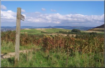
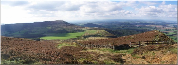
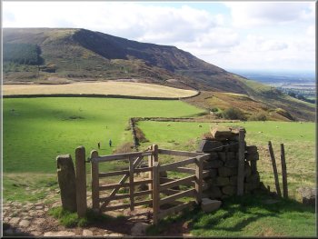
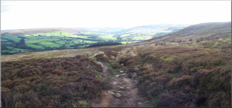
Start of the climb to Cock Howe from the village hall
car park
I started walking at about 10.15am and set off from the
car park up the steep climb to Cock Howe at map ref. SE
542983. The first kilometre from the car park climbs about
250m - an average gradient of 1 in 4 (or 25% as they say
nowadays).
|
It
was a lovely warm, sunny day so this morning I drove to
the little car park at the village hall in Chop Gate,
map ref. SE 559993. My two regular walking companions
were both off playing at grandads (that's babysitting
their respective grandchildren, it's my turn at that tomorrow).
Cold Moor from the path up to Cock Howe
|
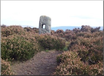
Cock Howe
At
map ref. NZ 525001 the path reaches a stile over a wire
fence and just over the stile there is a very convenient
rock shaped like a large chair and giving a great view
down Scugdale. This rock has become a traditional stopping
point for me and I sat there in the sunshine for almost
15mins enjoying the view.
|
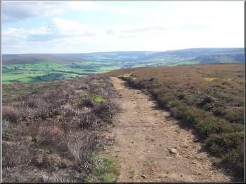
I
paused a few times on the way up just to look at the lovely
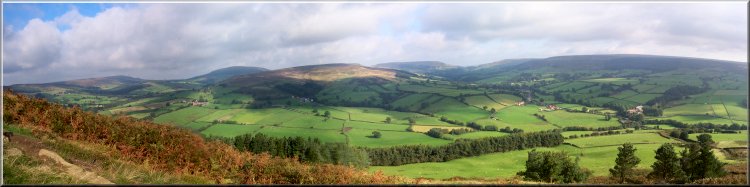
views over Bilsdale. It really is a beautiful place. From
Cock Howe I headed north along the ridge track to Green
Howe and continued along the track towards Barker's Crags
with a lovely view down Scugdale on my left and across
Raisedale on my right.
Green Howe
|
Looking down Scugdale from the track approaching Barker's
Crags
|
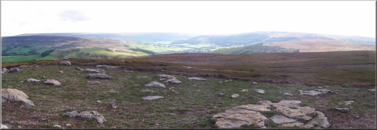
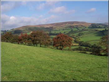
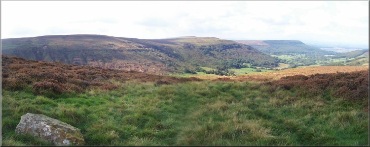
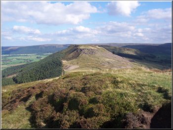
Looking down Bilsdale from the rocky summit at map ref.
NZ 523012
|
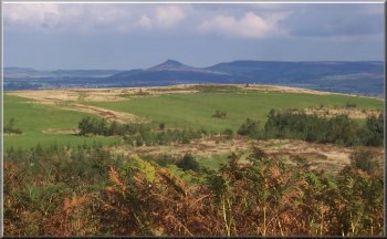
The peak of Roseberry Topping from the path near Lord
Stone's Cafe
I followed the acess road down the hill to join the Cleveland
Way by the road at map ref. NZ 523030. I crossed the road
and once over the stile turned right to follow the fence
down a few metres to the gravel car park in front of Lord
Stone's Cafe. The cafe is well disguised being built into
the hillside. It was quite busy on this sunny day. I found
an empty picnic tale out side and enjoyed a bacon &
blackpudding roll with a mug of tea to set me up for the
rest of the walk.
|
After
my break I continued along the path up through Barker's
Crags and on to Brian's Pond. The pond is in the middle
of a large heather clad plateau and I followed the track
through the heather and up to the Carlton
Moor Gliding Club air field. The path turned right
off the track to cross the heather for a few hundred metres
and join the access road to the air field at map ref.
NZ 521022. The view across Tesside had now opened up with
the industry looking strangely attractive in the hazy
middle distance and the blue of the Tees estuary and the
North Sea on the horizon.
Looking towards Roseberry Topping from the path near Lord
Stone's Cafe
|
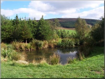
The pond at Lord Stone's Cafe |
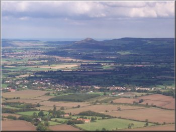
Roseberry Topping from Cringle Moor |
|
The Cleveland way on Cringle Moor |
|
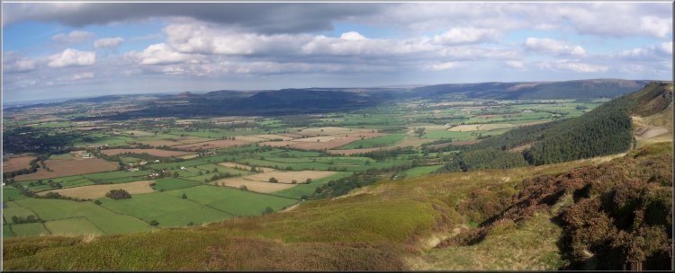
Looking east from the Alec Falconer memorial seat |
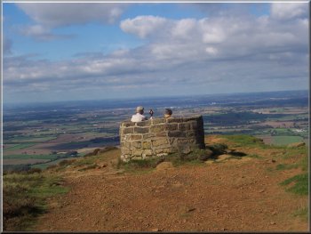
The Alec Falconer memorial seat
I think that the paving has been very well done. It blends
in and looks exactly right as though it is an old paved
pannier way. On this part of the walk I passed two ladies
who were walking the coast to coast route and planned
to stay at Clay Bank top tonight and finish on the coast
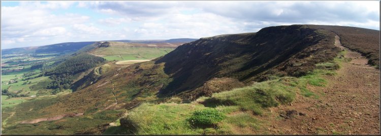
in two days. I followed the Cleveland Way down from Cringle
Moor and up onto Cold Moor at map ref. NZ550034. Here
I had a last look at the view from the edge and then turned
south to follow the path along the ridge of Cold Moor.
|
After
my lunch I set off to tackle the climb up to Alec Falconer's
memorial seat on Cringle Moor at map ref. NZ 535033. This
is a wonderful view point where I stopped to take a few
photos, but it's very hard to capture such a panorama.
This part of the route is along the Cleveland Way which
was paved about 10 years ago to combat the erosion cause
by so many walkers on this popular route.
The Cleveland way on Cringle Moor
|
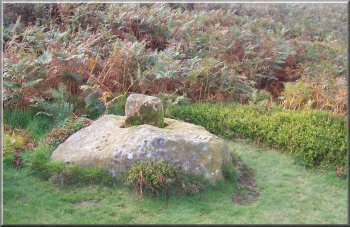
Remains of an old moorland Cross by the Cleveland Way |
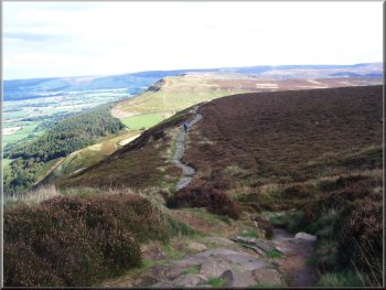
Cringle Moor from the path up Cold Moor |
The Wainstones from Cold Moor |
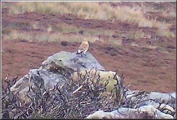
A wheatear ( at the limit of my camera's range) |
A last look at the view towards the sea from Cold Moor |
The track down into Bilsdale from Cold Moor |
The track down into Bilsdale from Cold Moor
I
followed the path for almost 1km back into Chop Gate.
The path emerges into Chop Gate at a junction opposite
the village war memorial and from there it is a walk of
about 250m along the road back to the village hall car
park. The whole route had been about 16km
and including my stops it had taken me five and a half
hours to walk.
|
I
continued along the track to the end of the ridge where
the track forked at map ref. 552016, and I took the left
hand fork down towards Chop Gate. At the edge of the heather
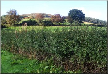
moor the track became a treelined path between the fields.
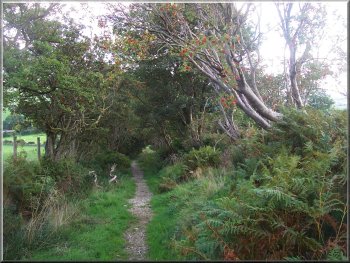
Track between the fields above Chop Gate
|
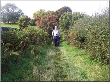
Track between the fields above Chop Gate |
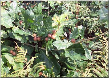
Oak apples - deformed acorns caused by a gall wasp |
|
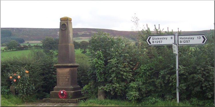
War memorial in Chop Gate |