| 2001 walks | 2002
walks | 2003 walks | 2004
walks |
| 2005 walks | 2006
walks | 2007 walks | 2008
walks |
| 2009 walks | 2010
walks | 2011 walks | 2012 walks |
| 2013 walks | 2014 walks | 2015 walks | 2016 walks |
| 2017 walks | 2018 walks | 2019 walks |2020 walks |
| 2021 walks | 1993-2000 library | Find a Route Index |
| A few Routes to print out | Request a Route... |
Route No 188 - Sunday
30 July 2006
Kilburn White Horse, Hambleton Hotel
Sutton Bank Visitor Centre
circuit - 7km
Hambleton Hills, North York Moors
Map: OS Explorer OL26 North York Moors Western area at 1:25000
Route
Map on 'Landranger' base from OS Open Space service
Open this route in
Google Earth
Path round the base of the cliffs from
the white horse car park |
This
morning we drove to the car park at the foot of the Kilburn
White Horse at map ref. SE 514811. It was forecast to be
another hot day so we got there early and started walking
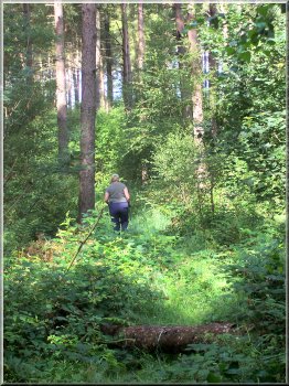
at about 8.45am. We left the car park on the path round
the bottom of the cliff through the woods for almost a kilometer
to map ref. SE 512817. Here we took the right hand fork
climbing steeply up to the top of the cliff on to the path
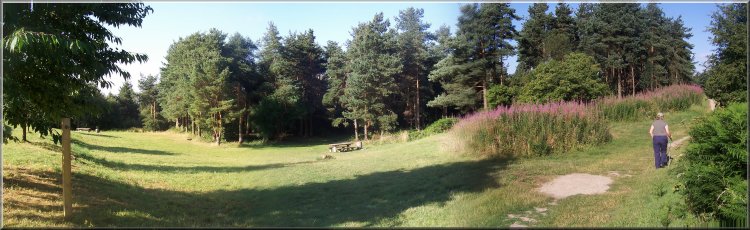
round the edge of the gliding club airfield at map ref.
SE 515818.
|
View from the top of the cliff by the
gliding club airfield |
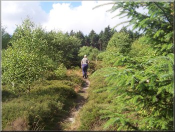
We
followed this path along the top of the cliff round the
edge of the airfield for about another kilometer to map
ref. SE 517825.
Gliders waiting their turn for a
tow into the air
|
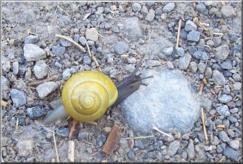
Snail crossing the path
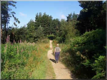
Here
we turned right to follow the Cleveland Way route through
the woods to the road junction opposite the Hambleton
Hotel.
|
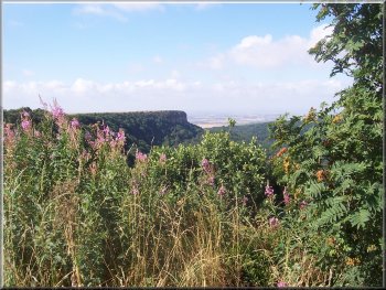
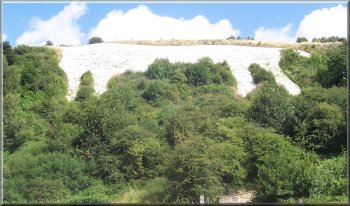
Roulston Scar from the path by the
airfield |
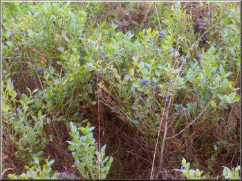
Wonderful crop of bilberries by the
Cleveland Way |
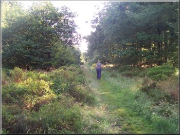
Cleveland Way through the woods heading
for the Hambleton Hotel |
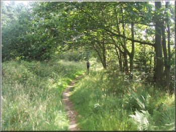
Cleveland Way through the woods heading
for the Hambleton Hotel |
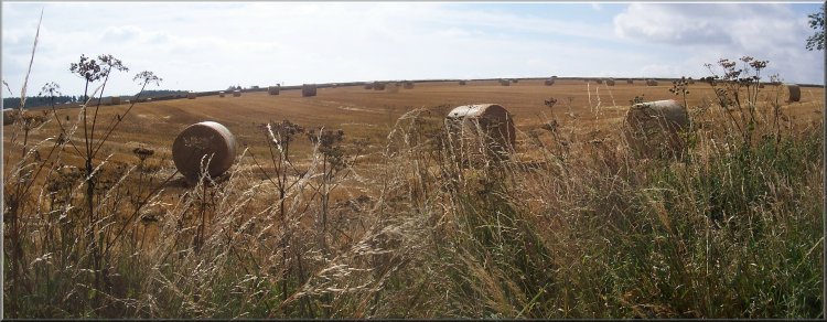
Newly harvested barley field opposite
the Hambleton Hotel |
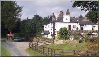
The Hambleton Hotel
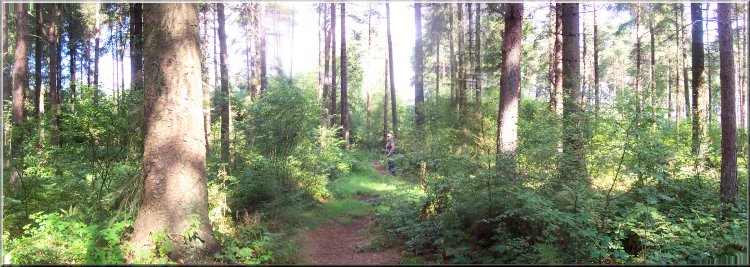
We
crossed the road and walked down the wide grass verge
to the hotel. We took the left hand fork at map ref. SE
524830 to follow a tiny lane down a slope into the woods.
|
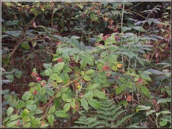
We were able to pick wild raspberries
in the woods all round this walk |
The red waymarked route to the visitor
centre |
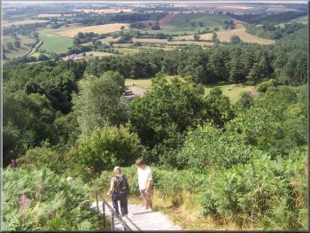
There
are several waymorked trails through these woods which
all start and finish at the Sutton Bank Visitor Centre.
We turned left off the lane into the woods to follow the
red waymarked trail through the woods to the visitor centre.
The red waymarked route to the visitor
centre
|
The red waymarked route to the visitor
centre |
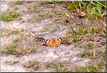
Tortoise shell butterfly on the path
through the woods |
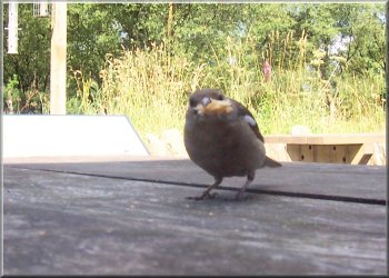
A chaffinch successfully scrounged
some of our toasted teacake |
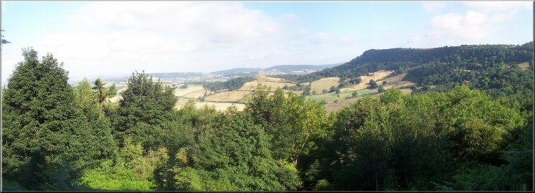
We
stopped at the visitor centre for a coffee and a toasted
teacake. We crossed the main road at the visitor centre
and walked to the edge of the cliff with an amazing view
across the vale of Mowbray to the Yorkshire Dales.
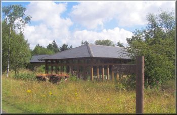
Sutton Bank visitor centre
|
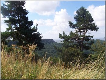
Roulston Scar from the top of Sutton
Bank |
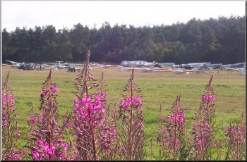
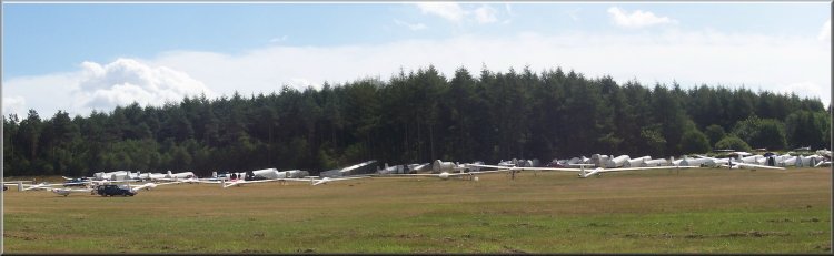 On
our way back the activity on the glider club airfield was
hotting up
On
our way back the activity on the glider club airfield was
hotting up |
We
followed the path along the cliff edge round the airfield
back to the top of the White Horse.
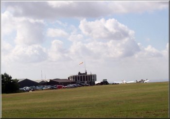
Tow planes by the control tower
|
Descending the steps by the white horse
|
Here
we descended the steps at the side of the horse into the
car park at the bottom.
The white horse from the car park
(Its head is over the hill top)
|
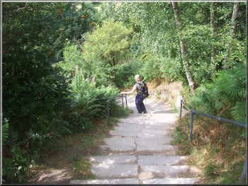
Descending the steps by the white horse
|
|
|
The whole route had been about 7km and had taken us almost
two and a half hours to walk including our stop at the visitor
centre.
|
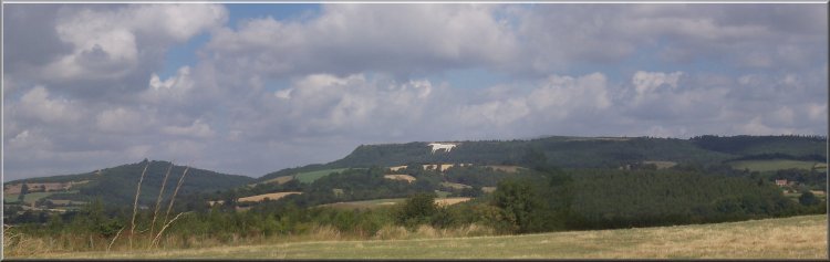
The White Horse seen from a lane about
4km away on the edge of Coxwold |