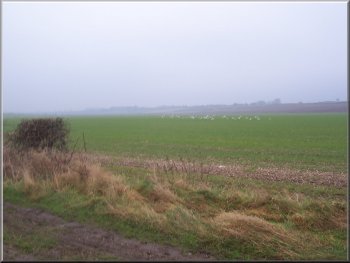
A flock of gulls was the onlt feature
of this huge field
We
followed the path across the fields for about 700m to
a road and walked along the grass verge of the road
for about 250m to map ref. SE 918597. Here we turned
right on to a wide green road between the fields. We
continued along this green road for about 4km to map
ref. SE 949615 where we turned right on to a bridleway
down the edge of a field. The fields here are huge and
largely featureless. Not very pretty but good for industrial
scale farming
|
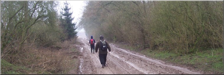
This
morning I met two friends in Wetwang on the Yorkshire
Wolds. It's not a very pretty place and it was a dismal
grey drizzly morning. The main road through the village
was quite busy with heavy lorries. We headed west along
the main road for about 300m and turned right down a
lane at the end of the houses and after another 100m
turned left on to a footpath at map ref. SE 928591.
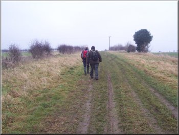
Walking the wide green road north
of Wetwang
|
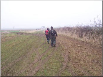
Walking the wide green road north
of Wetwang |
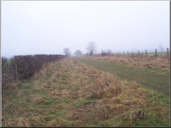
The wide green road north of Wetwang
|
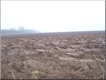
Endless ploughed field
A friendly greyhound came bounding across the field
to be patted and a rider caught us up and complained
that the dog was following her. She knew where it lived
but was not keen to have it running round her horse
all the time. The rider trotted off ahead of us shouting
ineffectively at the dog to "Go home!" as
they disappeared into the distance.
|
The
weather had not improved and the track had been turned
into a sea of mud by the huge machines needed to work
these enormous fields. We continued to the main road
(A166) at map ref. SE 953593. We crossed the road and
continued along the bridleway on the other side for
about 1.5km to a lane at map ref. SE 955580. Briefly
the weather improved and we caught a glimpse of the
sun.
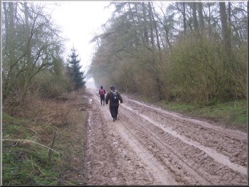
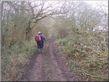
Muddy track throught woods
|
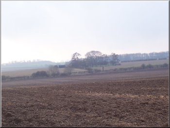
A wolds farm on a low ridge
We
walked along the lane for about 150m and then turned
right onto a path across the fields back to the village.
From the edge of Wetwang we walked down a short cul-de-sac
leading to an alleyway which brought us onto the main
road just opposite a short service road where we had
parked. The whole route had been about 13km and had
taken us around 4 hours to walk including a couple of
short refreshment stops.
|
At
the lane we turned right and followed the lane to the
B1248 at map ref. SE 946580. We crossed the road and
continued on a track across the fields. We could see
Wetwang now on a low ridge away to our right. The track
became bordered with trees and we continued for about
2km from the road to map ref. SE 930571 where we turned
right on to a track heading back towards Wetwang for
about 1.3km to a lane at map ref. SE 927583.
Wooded track returning to Wetwang
|