| 2001 walks | 2002
walks | 2003 walks | 2004
walks |
| 2005 walks | 2006
walks | 2007 walks | 2008
walks |
| 2009 walks | 2010
walks | 2011 walks | 2012 walks |
| 2013 walks | 2014 walks | 2015 walks | 2016 walks |
| 2017 walks | 2018 walks | 2019 walks |2020 walks |
| 2021 walks | 1993-2000 library | Find a Route Index |
| A few Routes to print out | Request a Route... |
Route No 135b - Sunday
17 April 2005
Ancrum to Morebattle - 19km.
St. Cuthbert's Way
Scottish Borders
Map: OS Explorer OL16 The Cheviot Hills at 1:25000
Note: the route is marked on the OS maps and
is well signposted
After
another good breakfast we set off before 9.00am and
from Ancrum we walked along the road past the Harestanes
Visitor Centre to pick up the route again as it went
into the Monteviot House gardens.

Waterloo
Monument on the hill top overlooking the Teviot valley
|
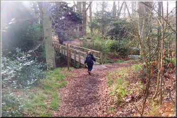
Monteviot
gardens woodland
We
walked down through the woods to the suspension bridge
over the river Teviot.
|
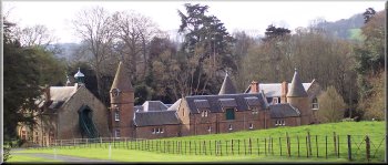
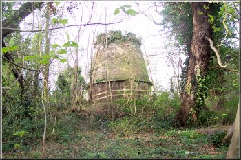
Above
: Monteviot House
Right:
Mysterious tower by the river Teviot
|
|
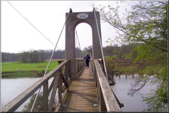 Suspension
Bridge over the River Teviot
Suspension
Bridge over the River Teviot |
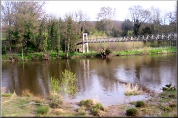 Suspension
Bridge over the River Teviot
Suspension
Bridge over the River Teviot |
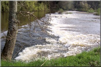 Weir
on the river Teviot
Weir
on the river Teviot |
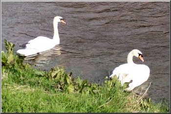 Swans
on the river Teviot
Swans
on the river Teviot |
We
followed the river to Jedfoot Bridge where we joined
the dreaded Dere Street again - still pretty wet and
muddy. The official guide book shows the route following
Dere Street for about 4km from Jedbridge to Cringlebank
near Crailinghall. However at the top of the first rise
the route was permanently diverted away from Dere Street
onto a new varied route through woodland and fields
to Cessford Moor (missing out Crailinghall).
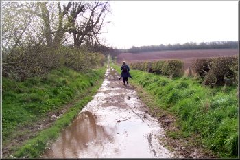
Oh
no! - Not Dere Street again
|
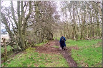
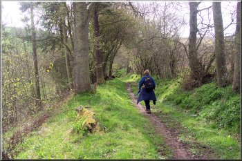
Woodland
track away from Dere Street
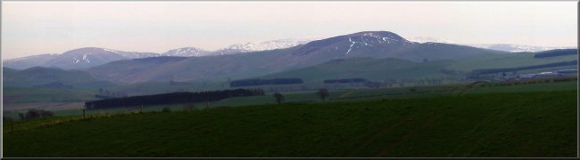
We
stopped for a break by Oxnam Water before continuing
across the fields to Cessford Moor. From Here we had
our first good view of the Cheviot Hills still with
plenty of snow on the tops. From Cessford Moor we had
rejoined the original route and continued down into
Cessford village.
|
 Woodland
path down to Oxnam Water
Woodland
path down to Oxnam Water |
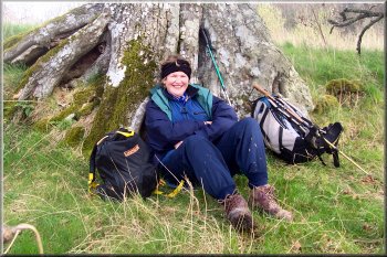 A
comfy spot beside Oxnam Water for a break
A
comfy spot beside Oxnam Water for a break |
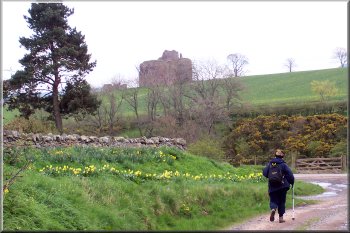 Arriving
at Cessford
Arriving
at Cessford |
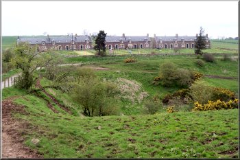 Row
of village houses at Cessford
Row
of village houses at Cessford |
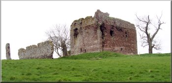
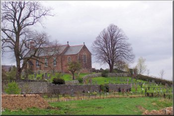
Above:
Cessford Castle
Right:
The church at Morebattle
|
|