|
It was a lovely sunny morning so we drove to Ripon and
parked at map ref. SE 323704 in a little car park near the Ripon marina
and the waterways information office, alongside the Ripon canal and
next to the racecourse. It was a lovely bright morning with a gusty
cold wind. We set off along the tow path towards Boroughbridge at about
10.30. There are a couple of wildfowl observation hides built alongside
the towpath and we stopped for a few minutes to look at the dozens of
greylag and canada geeses, tufted ducks, coots, oyster catchers and
various gulls.
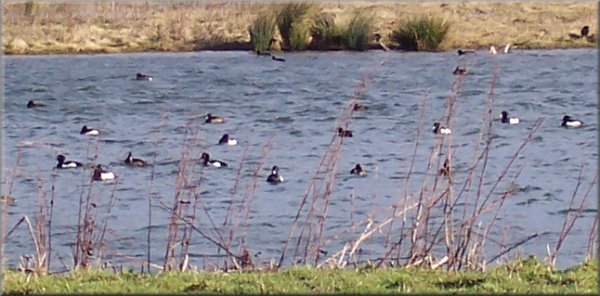
Tufted ducks on the wetlands beside the canal
at Ripon racecourse
We continued along the towpath to Ox Close lock at map
ref. SE 332680 where the canal joins the River Ure. We continued on
the river bank beyond Newby Hall (there is one field that is not a public
right of way but it seems to be well walked). At the lock at map ref.
SE 355667 we turned away from the river to the road at map ref. SE 351665
and followed the road to the edge of Bishop Monkton. We took the path
across the fields to rejoin the river bank at map ref. SE 338674, where
there was an intrepid angler huddled into his camoflage gear against
the wind. We retraced our steps back to our starting point. The whole
route was about 12km and took us just over three hours.
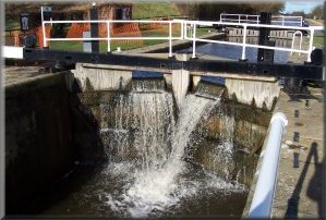
Ox Close lock on the Ripon canal |
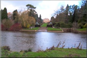 Newby Hall from the riverside path
 |
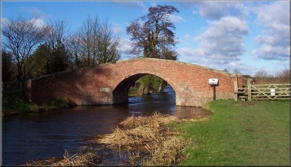
Bridge over the canal at map ref. SE 330686
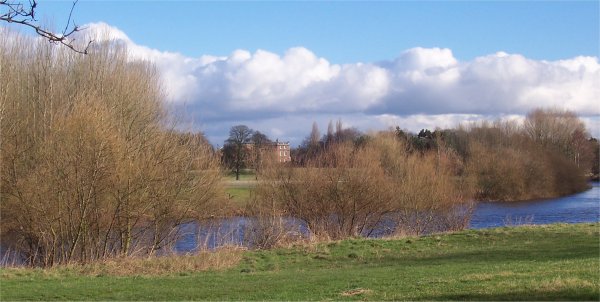
Looking across the river Ure to Newby Hall
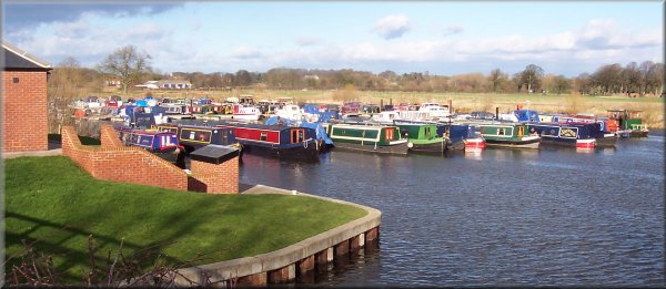
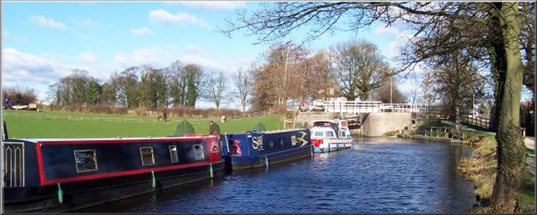
The marina next to Ripon racecourse
|