white horse logo

Looking south from the view point at map ref. SE 453977
Looking south from the view point at map ref. SE 453977 near Osmotherley

Menu:

National Parks

| 2001 walks | 2002 walks | 2003 walks | 2004 walks |
| 2005 walks | 2006 walks | 2007 walks | 2008 walks |
| 2009 walks | 2010 walks | 2011 walks | 2012 walks |
| 2013 walks | 2014 walks | 2015 walks | 2016 walks |
| 2017 walks | 2018 walks | 2019 walks |2020 walks |
| 2021 walks | 1993-2000 library | Find a Route Index |
| A few Routes to print out | Request a Route... |

Route No. 114 - Sunday 14 November 2004
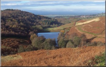
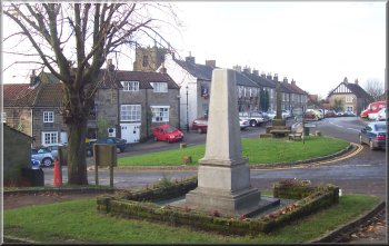
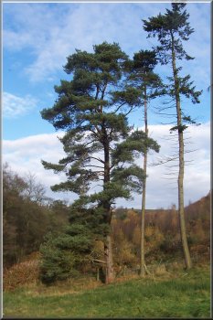
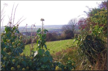
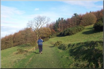
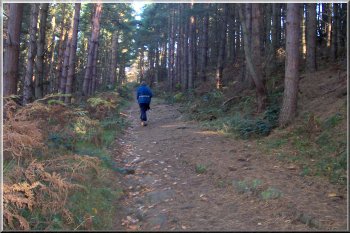
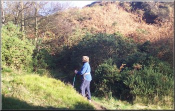
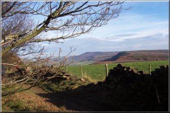
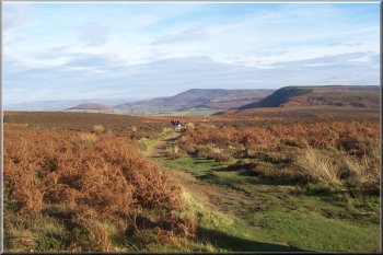
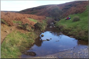
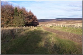
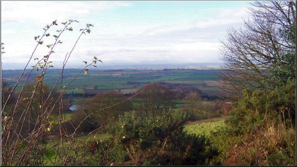
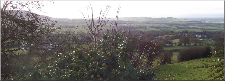
Oak Dale, Osmotherley,
Scarth Nick circuit - 12km
North York Moors . . .

Map: OS Explorer OL26 North York Moors, Western area at 1:25000
Ordnance Survey route map on the Landranger series map base

Oak Dale from the Cleveland Way

The war memorial in Osmotherley

It led us round the edge of the woods above Cod Beck reservoir to the road at map ref. SE 473973, and we followed the road back to the car park. The whole route was about 12km and took us three and a half hours including our short lunch stop.

It was fine, cold and sunny morning and Vi & I drove up through Hawnby to the car park below Black Hambleton near Osmotherley at map ref. SE 480958. From the car park we followed the Cleveland Way down Oak Dale, past the reservoirs to Osmotherley, where there was the usual chaos with car parking. We continued along the Cleveland Way above Arncliffe Wood to Scarth Nick at map ref. NZ 472001. Here we walked along the road, back towards Osmotherley, for a few hundred metres to Cod Beck at map ref. SE 471994. We crossed the beck on the footbridge to climb the hill and follow the track, called High Lane on the map.

Another Scots Pine - I just love the shapes and textures of them
Another Scots Pine -
I just love the shapes
and textures of them
Another view south from map ref. SE 453977
A texel tupp wearing his sire harness
A texel tupp wearing his sire harness. It holds a coloured dye block to mark the rump of each ewe he mounts.
Approaching Arncliffe Wood
Path in Arncliffe Wood
BT relay station above Arncliffe Wood
The northern edge of the Cleveland Hills from Arncliffe wood
The Cleveland Hills from Arncliffe Wood
The northern edge of the Cleveland Hills from Scarth Wood Moor
The Cleveland Hills from Scarth Wood Moor
Ford across Cod Beck
High Lane - a stoney track at map ref. SE 472980

Looking south from the view point at map ref. SE 453977

BT relay station above Arncliffe Wood