white horse logo

A glimps of Benningborough Hall from the river bank

Menu:

National Parks

| 2001 walks | 2002 walks | 2003 walks | 2004 walks |
| 2005 walks | 2006 walks | 2007 walks | 2008 walks |
| 2009 walks | 2010 walks | 2011 walks | 2012 walks |
| 2013 walks | 2014 walks | 2015 walks | 2016 walks |
| 2017 walks | 2018 walks | 2019 walks |2020 walks |
| 2021 walks | 1993-2000 library | Find a Route Index |
| A few Routes to print out | Request a Route... |

Route No 108 - Tuesday 22 June 2004
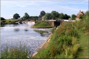
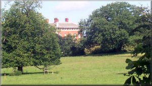
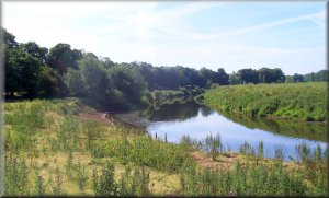
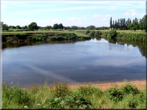
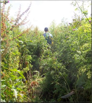
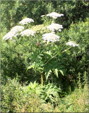
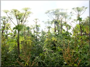
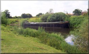
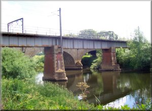
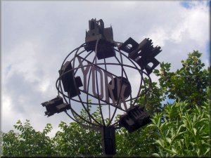
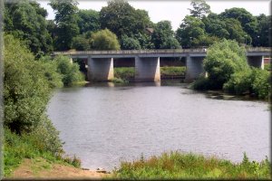
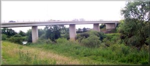
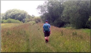
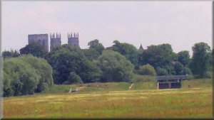
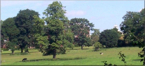
River Ouse from Linton Lock to Water End, York
River Ouse, York . . .

Map: OS Explorer 290 at 1:25000

Ordnance Survey route map on the Landranger series map base


Linton Lock and weir on the river Ouse

A glimps of Benningborough Hall

Today we opted for an easy 15 km walk along to River Ouse from Linton Lock to the bridge at Water End in York. We drove separately into York and left Jim's car at Water End. Then drove in my car up to Linton Lock where we left it in the car park. There's a sign proclaiming a £1.00p charge but there does not seem to be any way of paying it!
We set off down river at about 9.45am The navigation is easy - just keep the river on your right and follow the path. The path crosses the bottom of many gardens in Newton-upon-Ouse including the "Dawnay Arms" but it was too early to stop for lunch. We caught a couple of glimpses of Benningborough Hall (a National Trust property) through the trees before we came to the confluence with the river Nidd at Nun Monkton.
There were several fields with frisky groups of young beef cattle - they were OK but dog walkers take care! In places the path is overgrown with shoulder high weeds and giant hog weed about 3m tall towering over us like trifids. We crossed under the east coast main railway line where it crossed the river at Poppleton and continued on to Clifton Ings on the edge of York.
We got to Water End around 2.00pm - the route had taken us just over 4 hours including a couple of refreshment stops in the warm sunshine.

Note : The sap of Giant Hog Weed is poisonous and will produce a nasty burning rash if you get it on your skin.

River Ouse near Benningborough village
River Nidd joins the Ouse at Nun Monkton
The path is a bit overgrown in places
Giant Hog Weed by the path
3m tall giant hog weed looming over the path
Huge bracket fungus on a dead tree stump
Barge moored on the river Ouse
East coast main line railway bridge over the Ouse
East coast main line bridges over the Ouse


Sculpture marking the path and cycleway at the edge of Clifton Ings

Bridge over the Ouse at Water End

York northern bypass crossing the river Ouse
Path along the floodbank around Clifton Ings
York Minster from Clifton Ings