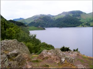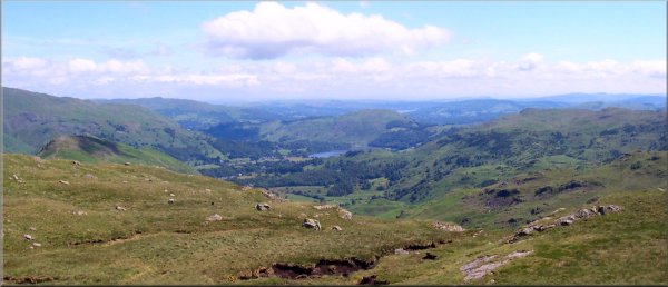
View
over Grasmere from Calf Crag
Menu:
National Parks
Route No 107a - Wednesday 16 June 2004
Rosthwaite to Grasmere - 12km . . .
Ordnance Survey route map on
the Landranger series map base
Bill, a friend of mine who lives in Alabama USA, is walking Wainwright's
Coast to Coast route with his friend Dave who lives in Texas, so Jim and I
arranged to meet them in Rosthwaite, Borrowdale at 10am on Wednesday 17 June
2004 for three days walking to Pooley Bridge at the northern end of Ullswater.
Everything went according to plan and my wife drove me and Jim to Rosthwaite
for our rendevous. We set off in the warm sunshine up the valley alongside
Stonethwaite Beck and then up Greenup Gill passing Eagle Crag over to our
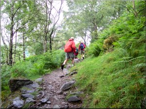
right. As we approached Lining Crag the path became steeper and steeper until
we came out on top of the crag where we stopped for a drink and a sandwich
and a look at the view. We continued up a much more gentle slope for a few
hundred metres to Greenup Edge at map ref. NY 285105. From here the path crosses
a wonderful bowl of rocky open country about a kilometer wide to a lower ridge
overlooking Far Easedale Gill.
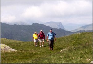
At map ref. NY 295102 we took the path to the left over Calf Crag and we followed
the lovely craggy ridge over Gibson Knott to Helm Crag and then down a very
steep descent into Easedale. We followed the road for about two kilometers
into Grasmere where we had a very welcome pint in a pub garden before making
our way to our B&B. The route today has been about 12 km. with about 800m
of climbing all together. It took us almost 6 hours to complete the walk.
(it was a long slow climb up past Lining Crag)
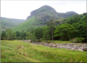 Eagle
Crag from Stonethwaite Beck
Eagle
Crag from Stonethwaite Beck |
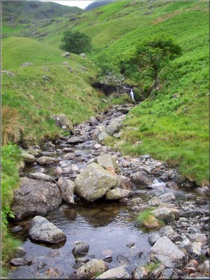
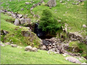 Mountain
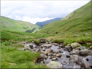
stream running into Greenup Gill
Mountain
stream running into Greenup Gill |
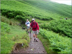
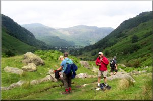 Taking
our coats off before the climb up to Lining Crag
Taking
our coats off before the climb up to Lining Crag |
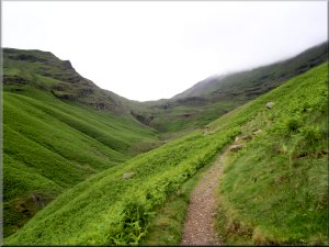
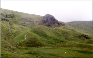 The
path up to Lining Crag
The
path up to Lining Crag |
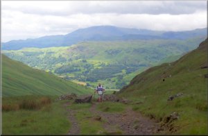
 Made
it! - Greenup Edge
Made
it! - Greenup Edge |
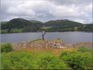
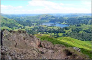 Grasmere
from Calf Crag
Grasmere
from Calf Crag |
Route No 107b - Thursday 17 June 2004,
Grasmere to Patterdale - 13km . . .
Ordnance Survey route
map on the Landranger series map base
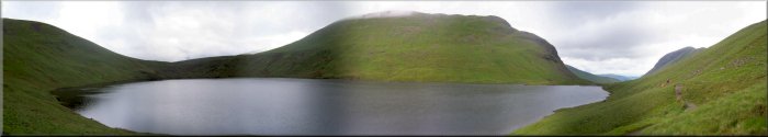
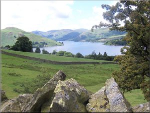
Grisedale Tarn looking
towards Dollywaggon Pike
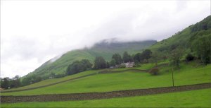
Cloud sitting on Seat Sandal from the road near
Mill Bridge |
This
morning we left Grasmere at 10am and took the path from
Mill Bridge up Tongue Gill to Grisedale Hause, map ref.
NY 349117. It is a pleasant even path with a steady gradient.
Once we reached the tarn we had our lunch sitting on the
rocks at the far end. Then we made our way down Grisedale
into Patterdale for a cup of tea in a pub garden before
making our way to tonight's B&B.The weather today
has been fine and dry but cooler than yesterday so it
was better for hill climbing. The route was about 13 km.
with about 700m of climbing in total. It took us about
5 hours to reach Patterdale. This was only our second
day following the coast to coast route but we had already
got to know several groups of coast to coast walkers as
we passed and repassed each other along the way.
|
 The
climb up Tongue Gill
The
climb up Tongue Gill |
 Looking
up Tongue Gill to Grisedale Hause
Looking
up Tongue Gill to Grisedale Hause |
Grisedale
Beck
|
The
view towards Grasmere from Grisedale Hause
Looking
down Grisedale towards Patterdale
|
Route No 107c - Friday 18 June 2004
Patterdale to Pooley Bridge - 15km . . .
Ordnance Survey route map on
the Landranger series map base
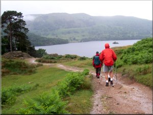
This morning was cold and wet with low cloud covering the hills. We had planned
to meet my wife at Bampton for a lift home but we decided to stay low today
and walk round Ullswater to Pooley Bridge and get a ride home from there.
Our American friends would make their way over Barton Fell to Bampton. At
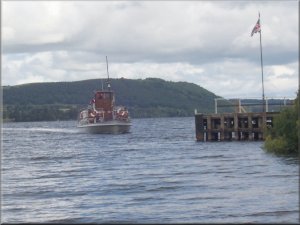
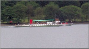
about 10am we set off in the drizzle around the lake. The steam ferry from
Glenridding passed us on its way to Howtown and about 20 minutes later we
reached the ferry jetty at Howtown where we sat on the shingle under some
trees by the lakeside to shelter from the rain and have some lunch