|
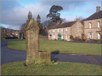
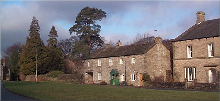
The village green in Arncliffe
We took the path by the church to the riverside and walked downstream
for about 3km to Out Gang Lane where we left the river Skirfare.
|
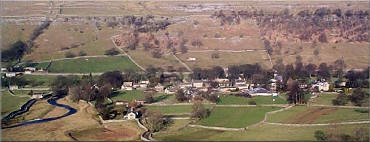
This morning four of us met at the village green in Arncliffe in Littondale
(map ref. SD 932718) at about 10.00.
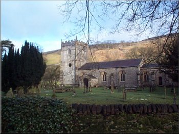
The village church in Arncliffe
|
|
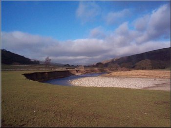
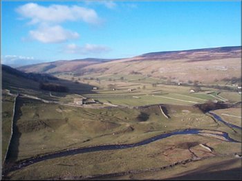
River Skirfare looking up Littondale
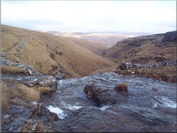
Top of the waterfall on Cote Gill
About 2km from Arncliffe Cote we stopped to look at the waterfall
on Cote Gill at map ref. SD932692 with a view down Cote Gill back into
Littondale itself.
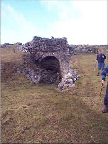
Old lime kiln by the path to Street Gate
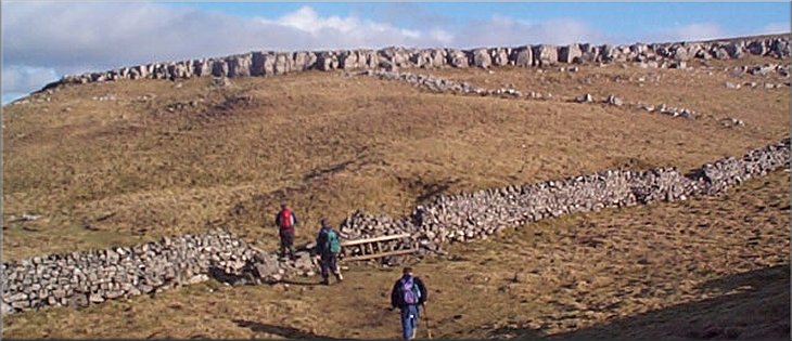
The combination of limestone hills and the heavy Pennine rainfall has
sculpted this whole area into an amazing mixture of limestone cliffs,
limestone pavements, steep valleys and waterfalls. It's a wonderful
place to walk.
|
We walked the 300m up the lane to the main road along the valley. We
turned back up the valley for about 200m to the farm road on our left
to Arncliffe Cote. We followed the public bridleway along the farm road
and onto the hill side climbing up above Cote Gill.
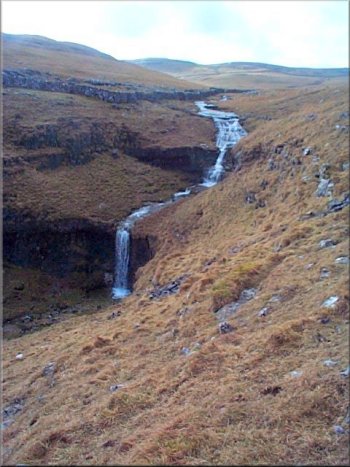
Waterfall on Cote Gill
We followed the bridleway for about 6km to Street Gate near Malham
Tarn.
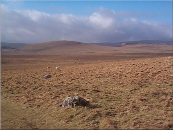
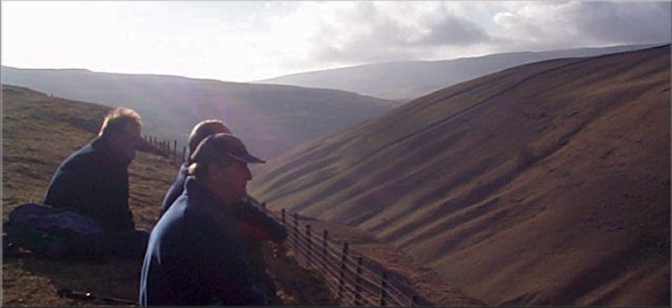
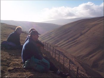
Wild open country on the way to Street Gate
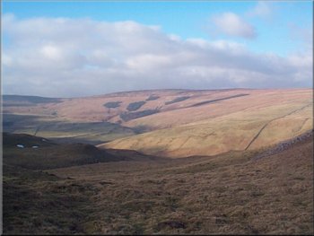
Wild open country on the way to Street Gate
|
|
Heading for the Monks' Road from Middle House
The path along Yew Cogar Scar above Cowside Beck
We continued along this path to the ruins of Middle House and about
200m beyond the ruins we took the right hand fork in the path which
forms the 'Monks' Road' above Yew Cogar Scar.
|
When we reached Street Gate we turned onto the bridleway heading north
along the stone farm road towards Middle House Farm. Just before the
farm at map ref. SD907675, the path goes over a stile to climb the hill.
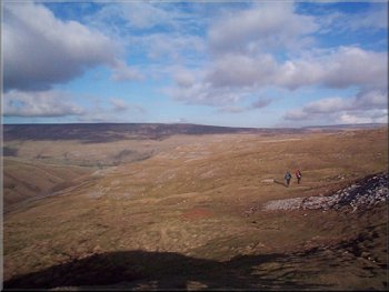
The path along Yew Cogar Scar above Cowside Beck
Looking up Cowside Beck with Fountains Fell in the distance
|
|
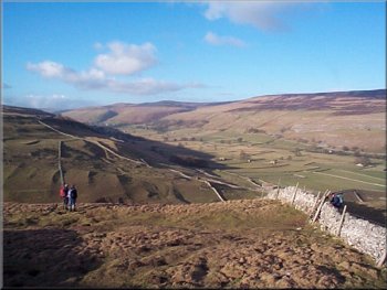
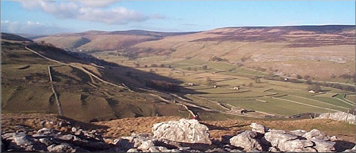
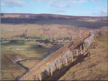
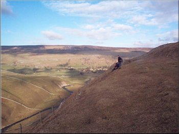
Looking up Littondale from Yew Cogar Scar
The whole route was about 18km and took us about five and a half hours
to complete including our refreshment stops.
|
The path is following the steep sided valley of Cowside Beck. There
is a steep descent from the end of the scar back down into Arncliffe.
Looking up Littondale from Yew Cogar Scar
|