|
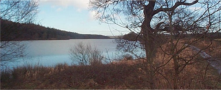
Head of Fewston Reservoir by the car park
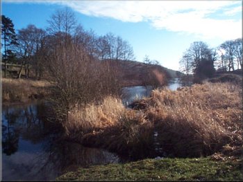
Heading upstream by the River Washburn
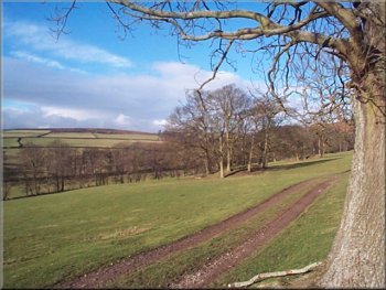
Track heading back towards Blubberhouses
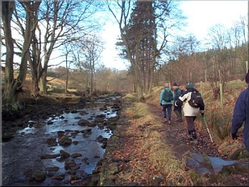
It is a very pretty wooded valley and there are some interesting old
water courses built to feed a large mill pond. Just beyond the mill
pond we turned (almost doubling back on our route) onto the path beside
the channel that used to feed the pond (the channel is dry now) and
joined the path called the 'Dales Way Link'. We followed this for over
a kilometer until we came to the minor road almost back in Blubberhouses.
We walked up the road for about 250m and turned onto the path Hewness
House and continued on a track across the fields to the A59 down a steep
embankment that used to have some steps. We walked down the road for
about 100m and crossed into a large lay-bye to join the path though
the woods down to the permissive path around Fewston reservoir.
|
We have had a couple of snowy days this week and some of the minor
roads are still very icy. Fortunately I live on the westen edge of the
North York Moors and just a few miles further west there is no snow
at all, so this morning we drove west to Blubberhouses on the A59 between
Harrogate and Bolton Abbey to meet two other couples in the little car
park at the head of Fewston reservoir (map ref. SE 169553). It was a
bright cold day with some fast moving shower clouds. After some traffic
hold ups on the way there it was almost 11 o'clock before we crossed
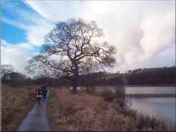
the main road and set off on a permissive path heading up stream beside
the river Washburn for just over 1km.
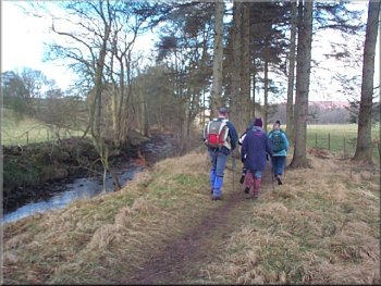
Heading upstream by the River Washburn
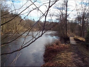
Old mill pond fed by the River Washburn
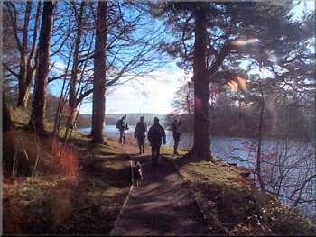
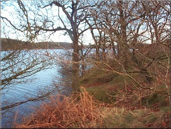
Path beside Fewston Reservoir
|
|
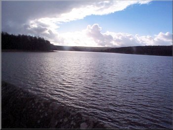
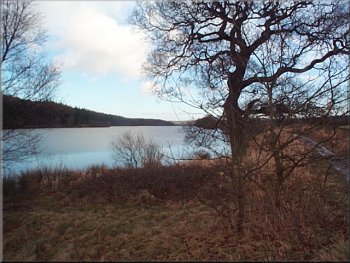
Swinsty reservoir
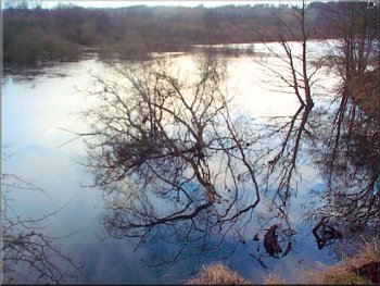
Reflections in an arm of Fewston Reservoir
Fewston Reservoir
About 200m from the dam a scaffolding tower had been built with a bridge
from its top to the top of an embankment. The diverted route took us
up the tower and across the bridge to join a temporary path skirting
the entire dam. The path took us down to the valley bottom to cross
the river by a bridge at map ref. SE 196526 and then on a track back
up to the western end of the dam where we rejoined the Dales Way Link.
|
It's very pretty through the woodland beside the water and we continued
across the road at the dam and onto the path around Swinsty reservoir.Permissve
path beside Swinsty reservoir It turned out that Yorkshire Water was
doing some construction work on the Swinsty reservoir dam and the path
accross the dam has been diverted whist the work is carried out.
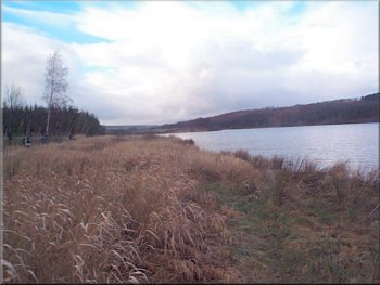
Swinsty reservoir
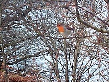
Robin by the path
Fewston Reservoir as we returned to the car park
|
|
Fewston Reservoir as we returned to the car park
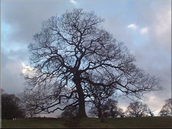
I just like trees - this one's near the car park
I have heard it said that the place got its name from the wailing
or blubbering of the poor mites who had to live and work there in appalling
conditions. The whole route was about 11km and took us around 4 hours
including a couple of stops. It's a very gentle and pretty route. The
paths round the reservoirs are very popular and we saw quite a few people
on this winters day - its wall to wall people in the summer.
|
We followed the Dales Way Link along side Swinsty reservoir up to the
picnic area (with toilets) at the Fewston reservoir dam. After a short
refreshment stop we took the permissive path beside Fewston reservoir
back to the car park at Blubberhouses. The stark buildings on the north
side of the A59 at Blubberhouses were a mill in the 19th century worked
by child labour.
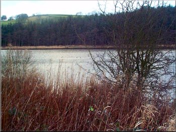
Fewston Reservoir as we returned to the car park
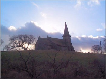
Blubberhouses Church above the car park
|