This morning I had arranged to meet a group of seven friends at the Roman Training Camps about 4 miles north of Pickering near the little hamlet of Crawthorne on the southern edge of the Cropton Forest. We had originally planned to walk near Hawnby, an area we have been unable to walk for a year because of the foot and mouth disease outbreaks, but when I checked I was amazed to find that the area is still closed along with most of the western edge of the North York Moors. One of my friends was out until late so I left a message about the change of venue on their ansaphone. You've guessed it already, I forgot to confirm the details this morning and my friend went to Hawnby whilst we waited at the Roman Camps. After failing to make contact by mobile phone, we set off at around 11.00am |
Woods at the Cawthorne Roman Camps
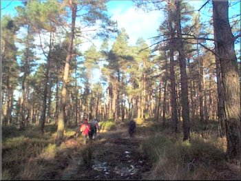
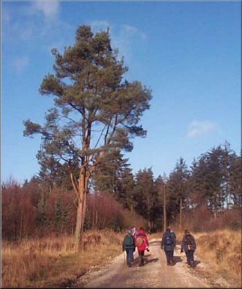
Our path through Cropton Forest
We were walking up the stalk of the 'T' and directly opposite us at the junction is a path into the forest. We followed the path opposite into the forest for about a quarter of a mile to reach another stony forest road. We followed this road for another mile to a gate just beyond St.James Farm.The whole route from the point where we joined Sutherland Road is shown on the map as a continuous bridle way. At the gate we turned right onto a footpath through the forest, across Wrelton Moor for about a mile and a half. Part way along this track we stopped on a heather bank for a drink and a sandwich. One of my friends was demonstrating to us how lovely and springy the heather bank was to sit on by repeatedly flopping back full length - it did look very comfy. He had just opened his sandwiches when he noticed a strong smell. The smell was getting worse and he just had to investigate the source. It was a pile of fox droppings that he had been bouncing on. Then, right on que, we heard a feint sound of barking which grew rapidly louder. There were clearly a lot of very noisy dogs approaching fast. Of course it was the local hunt (Sinnington I presume). They passed about 400 yards to the west of us so we were able to relax and finish our lunch. |
(Note: the short cut through the woods is no longer permitted and it is necessary to walk around the road) We cut through the woods to the lane heading north to Keldy Castle where the forestry commission has a large complex of 'log cabins' for holiday accommodation. An ideal place to stay if you like walking. About 100 yards beyond the last cabins there is a power line on poles crossing the track and we turned left to follow it on a well worn but muddy path along the line of the poles for just over half a mile until we emerged onto a wide stony forest road (it's called Sutherland Road on the map). We turned right onto this road and followed it for about a mile to a 'T'-junction with another forest road at Muffles Rigg.
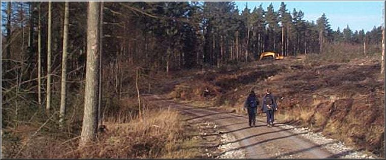
The Sutherland Road, an access track, in Cropton Forest
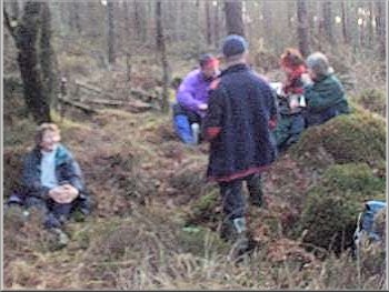
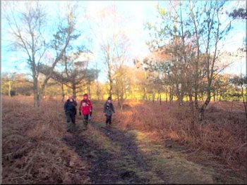
Lunch break in the Cropton Forest
|
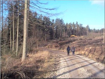
A stony forest access track
We retraced our steps up the lane for about a quarter of a mile back to the Roman Camps. There is a large information board about the camps and there is a leaflet available from the tourist information offices. Apparently the troops stationed in York in Roman times would march up to these camps on training maneuvers, so there are 3 or 4 different types of Roman military camp earthworks here. The whole route was about 9 miles and took us four and a half hours including a couple of stops. |
After our break we continued along the path and turned right to pass Low Leaf Howe House (an outdoor training centre). Then we turned left to emerge onto Rutmore Road (another forest track). We stayed on this track until it joined Middle Head Road and followed this to a farm called High Cawthorne. Here we took the path across the fields to pass the back of Elleron Lodge and through the woods to come out onto the lane to Keldy that we had walked at the start of the route.
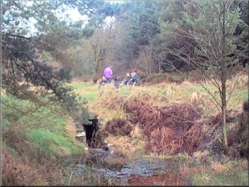
Our second refreshment stop is a pleasant clearing
|