|
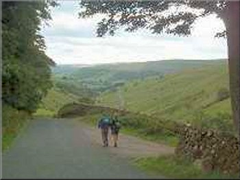
Setting out for Great Whernside
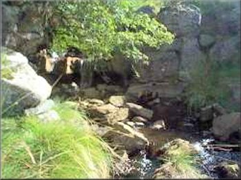
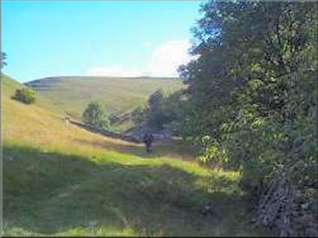
Waterfall in Dowber Gill Beck
In the tussock grass on the plateau just before the last steep
climb to the top I noticed the shed skin of a small lizard stuck to a
stem of grass. (I brought it home to photograph it). At last we reached
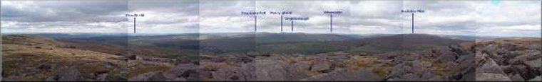
the top at a height of 700 m above sea level. The view was magnificent.
To the south we could see the three power stations at Drax, Ferrybridge
and Eggborough and the TV transmitter at Emily Moor - I've not noticed
it before from here. Out to the South west was Pendle Hill and moving
round to the north west were Pen-y-Ghent, Ingleborough and Whernside.
Beyond them the blue blobs on the horizon were easily recognisable as
Scafell, Scafell Pike and Great Gable. I do not remember it being so clear
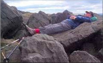
before. The wind was quite cold on top so we settled down in a sheltered
spot between the rocks for a drink and a sandwich and just to enjoy the
view in the autumn sunshine.
|
Yesterday
the weather forcast for today was wet and windy for the area east of the
Pennines and cloudy with sunny periods west of the Pennines, so I rang
the Tourist Information Office at Grassington to confirm that the paths
up Great Whernside from Kettlewell were open and this morning I set off
with two friends at about ten to nine to drive to Kettlewell. We got there
at 10am to find the car park almost deserted. We made our way up the path
past Providence Pot. We caught up a group of five retired men, much like
ourselves, just after the entrance to the pot and exchanged a few words
before they headed off up a side valley to our right.The route up the
valley past the pot is very pretty with lots of small waterfalls in the
stream and about half a mile beyond the entrance to Providence Pot we
stopped beside one of them for a drink and a sandwich before pressing
on. The climb goes on and on and at the head of the valley the path becomes
less and less well defined until you just aim for the rockiest part of
the ridge.
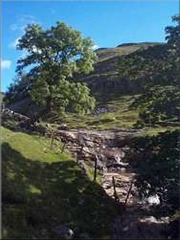
Waterfall in Dowber Gill Beck
|
|
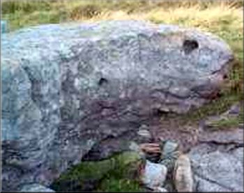
Lizard head rock near the top
|
A party of half a dozen middle aged ladies climbed to the summit whilst
we lay there in the sun but they showed little interest in the view and
continued straight on along the ridge without a pause. A few minutes later
we followed and overtook them on the descent to the road above Park Rash.
Then we made our way down Park Rash back to Kettlewell. After changing
our boots for some lighter footwear at the car we crossed the road to
the tea shop opposite the car park where the group of men we had spoken
to this morning were already seated and the group of ladies we had seen
on Great Whernside arrived to occupy another table a little later. It
has been a great day - our first walk in the Yorkshire Dales since the
foot and mouth disease began in February. On the way home we stopped at
the tourist Information office in Grassington and got a map of the areas
where paths are now open. At long last it looks as though things are starting
to improve. |