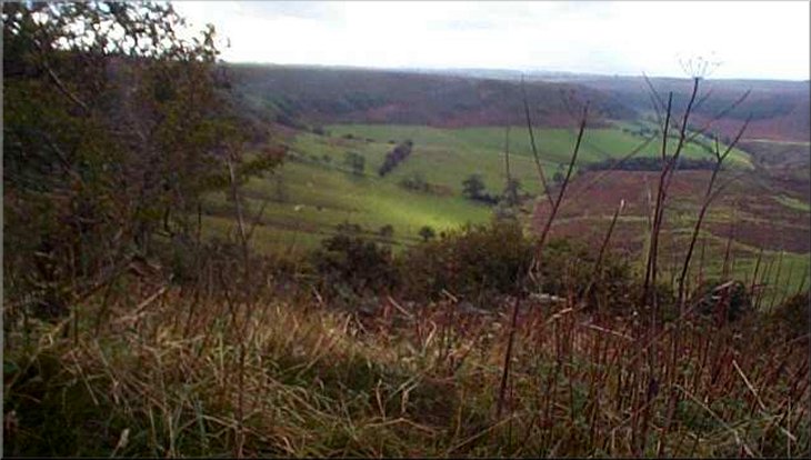
Descending into the Hole of Horcum
from the car park on the main road
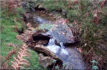
The stream in Dundale Griff
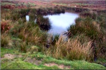
It descends straight into the bottom on the great bowl of the Hole of Horcum and after 7 months with no walkers it was overgrown with braken and brambles and quite difficult to follow. Once on the path in the bottom, I followed it down the valley for over a mile to Dundale Griff where two streams meet in a pretty grass and bracken area popular with walkers for a lunch stop. I was too early for lunch and I walked the half mile up Dundale Griff to Dundale Pond which was built by monks in the 13th century. |
Yesterday, Saturday, I repeated last Wednesday's walk from the village hall in Chop Gate with a group of eight friends. We normally walk together about once a month. The weather forecast for today was for strong winds and rain in the afternoon but the morning was fine and sunny so I set off early for the Hole of Horcum on the Pickering to Whitby road. There were no other cars in the car park when I arrived and just one car came whilst I was getting my boots on. I went down a steep path directly opposite the car park.
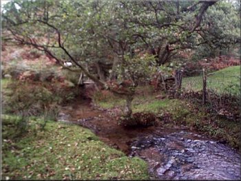
Levisham Beck in the Hole of Horcum
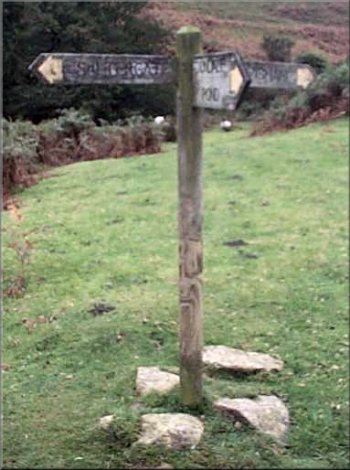
Sign post at the bottom of Dundale Griff
|
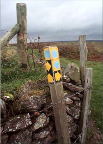
Paths in all directions from Dundale Pond
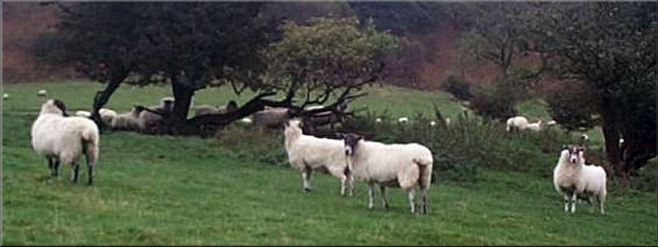
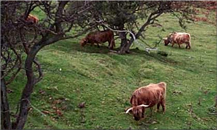
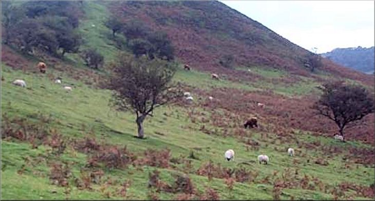
On the way to Skelton Tower I passed the resident herd of highland cattle on the way. On the way I met the couple who had arrived at the car park as I was leaving and it turned out that they were walking the same route but the other way round. As we stood talking a kestrel swooped down and perched on a hawthorn tree on the hillside just below us. It was a female and the black markings on its russet plumage looked really crisp in the weak autumn sunshine. |
I sat by Dundale Pond for a drink and a procession of mountain bikers came by and several pairs of walkers. Everyone seems to be as pleased as I am to be able to walk our native land again after being banned for 7 months. It's a bit scary that such a basic right can be taken away so easily for so long. There are many paths criss crossing this whole area and from the pond I took a path in a direct line to Skelton Tower.
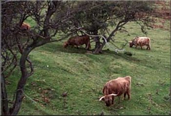
Highland cattle near Skelton Tower
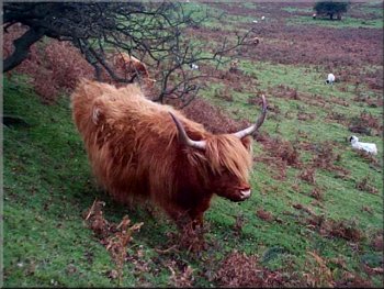
Highland cow near Skelton Tower
|
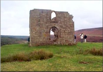
Skelton Tower
Then I continued round the edge of the cliff overlooking Newton Dale back towards the Whitby / Pickering road. I had gone just far enough for the railway to be obscured by the trees when there was the sound of another train approaching. This time it was coming up the valley and turned out to be a double header with both engines belching great clouds of steam. It would have made a much better photo than the rather tame picture I took. The path round the cliff edge is a bit farther than the main track along the moorland plateau but it's a lot more interesting with constantly changing views both up and down Newtondale. Finally the path climbs the hill near the Saltersgate Inn back to the hairpin bend on the main road and up to the car park to complete a circuit of about 7 miles. I arrived back at my car at 1.15pm still in fine weather with broken cloud and sunshine. The forecasters had got it right this time and I drove through a couple of showers on the way home.
|
Skelton tower overlooks Newtondale and the North York Moors steam railway runs in the bottom. A group of railway enthusiasts were gathering near the tower to photograph the trains passing below. I stopped on the cliff top for another drink and watched a train coasting down the valley from Newtondale Halt to Levishan station.
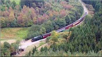
Steam train below Skelton Tower
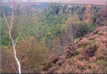
Cliffs above Newtondale seen from Skelton Tower
|