Menu:
National Parks
The approximate route is shown by a blue line.
Use your mouse to drag the map to the area of interest and
zoom in/out using the controls on the left hand side of the map.
Please use my map to find the route on your own large scale
walking map such as the OS Explorer series at 1:25000.
If you have time if you do this walk please let me know how you get on.
That would be very helpful to me to keep my information accurate and up to date.
Please note that I provide this free service to you as a fellow walker on the
understanding that you walk
the route entirely at your own risk and that the information is not used for
any commercial purpose.
Library Route No.950114
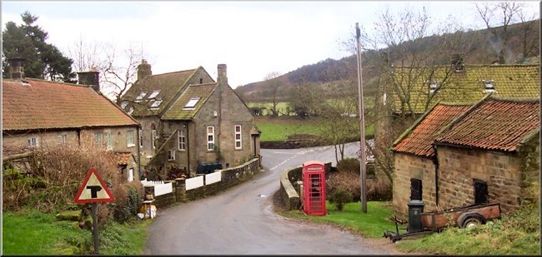
Low Mill, Blakey Ridge, Ironstone Railway,
Farndale, Rudland Rigg, West Gill circuit - 20km
Farndale, North York Moors . . .
Map: OS Explorer OL26 North York Moors Western area
General Directions (see markers on the route map)
1.) Start from the car park at map ref. SE672952 in the village of Low Mill in Farndale. From the car park entrance turn left and walk along the road for about 100m to the junction in the village. At the junction turn left and follow the road across the bridge over the Rive Dove and continue up the slope to the 'T'-junction with the Daleside Road. Cross the road to the access track opposite up to Cragg Cottage. At Cragg Cottage follow the public footpath around the south side of the cottage and then climbing diagonally up the valley side and through the crags to reach the road along Blakey Ridge at map ref. SE689957. Cross the road and follow the very feint public footpath across the open moor for about 1km to the track along the bed of the old ironstone railway at map ref. SE697962, next to the fenced off shaft of the old Sheriff's Pit mine.
2.) At the track by the Sheriff's Pit mine shaft, turn left and walk along the old railway bed above Rosedale for almost 3km to the point where the railway used to pass under the Blakey Ridge road at map ref. SE683989. At the Blakey Ridge road cross the road to the road opposite that climbs up the side of Farndale from Church Houses. Follow this road for about 50m and then turn right off the road to follow the old railway bed once more, now above Farndale. Continue along the railway for about 5km to map ref. NZ653007. (Note: this is where the Lyke Wake Walk used to turn off the railway to drop down to Esklets and climb up to Flat Howe, now it continues on round the railway to the Lion Inn).
3.) Opposite the track on the right to Esklets, turn left off the railway to follow the path down the valley side for about 1km to the road in Farndale at map ref. SE649997. At the road turn left and walk along the road for about 600m to map ref. SE652991. Here turn right off the road to follow a public footpath along the edge of the field down to a footbridge across the River Dove. From the footbridge continue along the footpath up the road at Duffin Stone farm, map ref. SE646986. Cross the road and take the footpath opposite climbing diagonally up the steep hillside for about 1.6km to join the track along Rudland Rigg at map ref. SE639976. Turn left to walk along Rudland Rigg for about 700m to map ref. SE644969.
4.) Here, at map ref. SE644969, a public bridleway crosses the Rudland Rigg track. Turn left off Rudland Rigg to follow the bridleway dropping down the hillside into West Gill. Cross West Gill Beck and continue down West Gill for about 1.6km to the road at map ref. SE669954. At the road turn right and walk along the road for about 500m back to the car park on the left hand side of the road and the end of the walk.
(top of page)