Menu:
National Parks
The approximate route is shown by a blue line.
Use your mouse to drag the map to the area of interest and
zoom in/out using the controls on the left hand side of the map.
Please use my map to find the route on your own large scale
walking map such as the OS Explorer series at 1:25000.
If you have time if you do this walk please let me know how you get on.
That would be very helpful to me to keep my information accurate and up to date.
Please note that I provide this free service to you as a fellow walker on the
understanding that you walk
the route entirely at your own risk and that the information is not used for
any commercial purpose.
Library Route No.940828
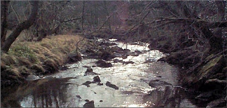
Murk Head, Lownorth Beck, Harwood Dale Beck,
River Derwent, High Langdale End, Derwent Head,
Lilla Howe, Jugger Howe Beck, circuit - 21km
North York Moors . . .
Map: OS Explorer OL27 North York Moors Eastern area at 1:25000
General Directions (see markers on the route map)
1.) Start at the road junction at map ref. SE953956, about 1km west of the village of Harwood Dale. There is room to park off the road on the grass verge near the junction. From the junction take the access drive heading west to cross Lownorth Beck. Immediately across the beck turn left to follow the public footpath beside the beck. After about 300m the path crosses the beck and continues to a minor road at map ref. SE949952. Continue along the road in the same direction for about 200m to recross the beck on the road bridge (Lownorth Bridge).
2.) Just across Lownorth Bridge turn left off the road to follow the public footpath alongside the beck, now called Harwood Dale Beck. About 1.2km from the road there is a footbridge on the left over the beck. Turn away from the footbridge following the path with the River Derwent about 100m away to the left. After about 400m from the footbridge the path joins a track and after a further 50m turn left off the track onto a footpath eastwards for about 70m to a footbridge over the River Derwent near a waterfall.
3.) Cross the footbridge and continue along the path climbing up through the forest to join a forest access track leading up past the farm at High Langdale End. Just beyond the farm turn right to follow another forest access track. Continue along this forest track for about 5km from the farm to the edge of the forest at Drewent Head, map ref. SE889972.
4.) At Drewent Head, at the edge of the forest turn right to follow a stony track around the outer perimeter of the Fylingdales military base. Follow this track for about 1.7km to Lilla Cross on top of Lilla Howe at map ref. SE889986.
5.) From Lilla Howe turn right to follow the route of the Lyke Wake Walk heading generally eastwards passing Burn Howe Duck Pond on the left. Continue along this path for a little over 4km to drop down the steep valley side to cross Jugger Howe Beck at map ref. SE930993. Once across the beck keep right to follow the public footpath along the edge of Jugger Howe Moor above the beck for about 2.5km from the beck crossing until the path drops down again from the moor th the beck side at map ref. SE947983.
6.) From map ref. SE947983 follow the path by the beck heading downstream for about 1.7km to the footbridge over the beck at map ref. SE948968. Cross the footbridge and follow the track for about 500m up to the road by Chapel Farm. At the road turn right and follow the road for about 1.3km back to the starting point and the end of the walk. About 300m before the end of the walk look out for the Mill Inn on the right hand side of the road. It's a querky old place and worth a visit (if it's open) just for the experience.
(top of page)