Menu:
National Parks
The approximate route is shown by a blue line.
Use your mouse to drag the map to the area of interest and
zoom in/out using the controls on the left hand side of the map.
Please use my map to find the route on your own large scale
walking map such as the OS Explorer series at 1:25000.
If you have time if you do this walk please let me know how you get on.
That would be very helpful to me to keep my information accurate and up to date.
Please note that I provide this free service to you as a fellow walker on the
understanding that you walk
the route entirely at your own risk and that the information is not used for
any commercial purpose.
Route No. 940611 - Rawthay Bridge,
River Rawthay, Rawthay Gill, Knoutberry Haw,
West Baugh Fell Tarn, Bluecaster circuit - 17km
Howgill Fells . . .
Map: OS Explorer OL19 Howgill Fells and Upper Eden Valley at 1:25000
General Directions (see markers on the route map)
1.) Start from the gravel parking area just north of Rawthay Bridge, map ref. SD713979. Cross the road (A683) and take the track opposite across the rough grassland climbing up around the northwest side of Bluecaster hill. After about 500m from the road turn left to follow a bridleway heading initially eastwards towards the north side of Bluecaster hill and then bending round to the southeast to follow the River Rawthay upstream to a footbridge over the river at map ref. SD727967, about 2.5km from the start of the route.
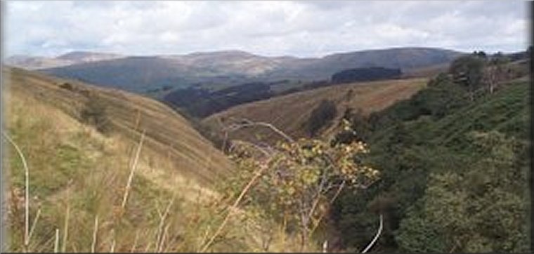
2.) Do not cross the footbridge. The whole of Baugh Fell is open access land. The route keeps to the southwest of the River Rawthay where there is a narrow path along the steep valley side above the river. The river flows over a series of waterfalls along the valley. It is possible to approach the foot of each waterfall but the steep valley sides are even steeper near the falls and it is normally necessary to back track along the riverside from the foot of the falls to find a safe place to scramble up the valley side back to the path. There are tempting deep pools below the falls but the water running off Baugh Fell is always cold. About 3km along the valley from the footbridge a branch of the river turns to the right up Rawthay Gill. There is no defined path beyond this point.
3.) Follow the stream up Rawthay Gill. It's an interesting rocky gully with several glacial erratics in the stream bed. After about 2.5km the route reaches Gill Head at map ref. SD736924. From Gill Head there is a final steep climb out of the rocky gully on to the wet plateau of East Baugh Fell. Pick a way across this wetland for about 350m to the trig point at Knoutberry Haw, map ref. SD731919. The field enclosure intake wall runs along the ridge here and makes a convenient wind-break and back rest for a lunch stop with an amazing panorama to view.
4.) There is no defined paths over this wild open moorland. From Knoutberry Haw head north for about 2km to West Baugh Fell Tarn using the large cairns to help navigate as the tarn disappears from view after leaving the trig point. The route follows the ridge across rough boggy grassland dropping down the moor for about 4km to the top of Bluecaster hill at map ref. SD711969. The route from the tarn to Bluecaster is a long arc making navigation by compass difficult when the mists descend. From the top of Bluecaster head north for about 400m dropping down the hillside to intercept the outward leg of the route and retrace the outward route for about 700m back to the car park and the end of the walk.
(top of page)