Menu:
National Parks
The approximate route is shown by a blue line.
Use your mouse to drag the map to the area of interest and
zoom in/out using the controls on the left hand side of the map.
Please use my map to find the route on your own large scale
walking map such as the OS Explorer series at 1:25000.
If you have time if you do this walk please let me know how you get on.
That would be very helpful to me to keep my information accurate and up to date.
Please note that I provide this free service to you as a fellow walker on the
understanding that you walk
the route entirely at your own risk and that the information is not used for
any commercial purpose.
Library Route No. 940326
Kettlewell, Hag Dyke Hostel, Great Whernside, Nidd Head,
Park Head Bank, For Dyke, Cam Head, Starbotton circuit - 17km
Wharfedale, Yorkshire Dales . . .
Map: OS Explorer OL30 Yorkshire Dales Northern & Central areas
General Directions (see markers on the route map)
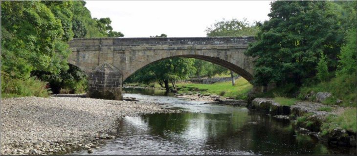
1.) As the B6160 approaches Kettlewell from the south the road crosses a bridge over the River Wharfe. Just over the bridge there is a car park on the left. Start the walk from this car park (map ref. SD967722). From the car park turn left and walk along the B6160 for about 120m and turn right to walk along Middle Lane follow the road bearing round to the left to walk along The Green and continue along the lane heading upstream beside Kettlewell Beck. About 800m from the car park the lane crosses Dowber Gill Beck. Take the path by the beck and cross the beck to follow the path along a track and across the fields to Hag Dyke, a scout hostel. From the hostel continue along the path over the open moor climbing up for about 1.4km to the ridge of Great Whernside next to the trig point on the summit at map ref. SE002739.
2.) At the summit of Great Whernside turn left to walk northwards along the ridge for about 3km to map ref. SE08764 where the ridge is dropping down to the saddle between Great Whernside and Little Whernside. At this point a path crosses the ridge coming up from Scar House Reservoir and then dropping down to the road at the top of Park House Bank. Turn sharp left on to this path and follow it across the wet hillside for about 2.5km to the road.
3.) At the top of Park House Bank, cross the road and follow the bridleway along For Dyke, contouring round the hillside to Cam Head. Continue past Cam Head along a bridleway leading to the walled track of Starbotton Cam Road. This walled track makes a steep descent of about 1km to the village of Starbotton.
4.) In Starbotton at map ref. SD953746 cross the main road (B6160) and take the bridleway along a walled track opposite. After about 250m the track leads to a footbridge over the River Wharfe. Once across the footbridge turn left to follow the Dales Way route along the river Bank following the River Wharfe downstream for about 2.8km back to Kettlewell and the end of the walk. The Riverside path comes out onto the road (6160) at the road bridge in Kettlewell next to the car park.
(top of page)